GPS-calibrated map
Numbers = photos taken there. Tap a point to view them.
© National Land Survey of Finland (NLS) — terrain map
Day 8 · Sep 8
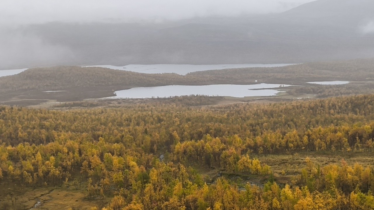
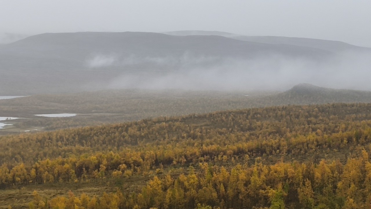
Near Markos-Malla
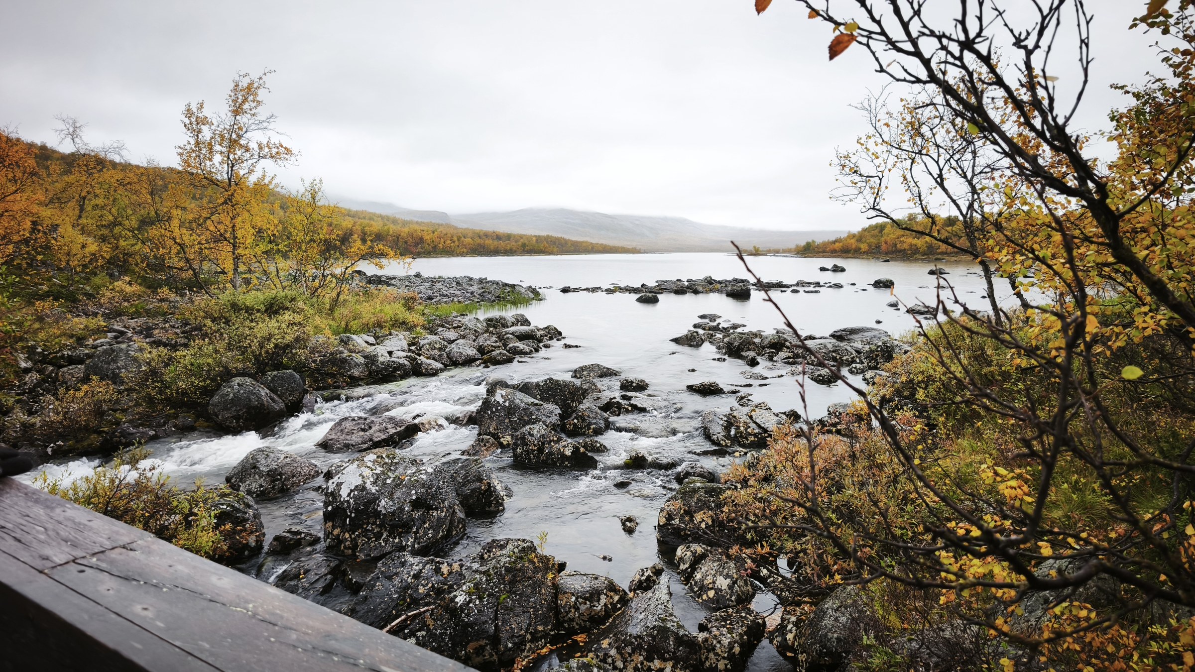
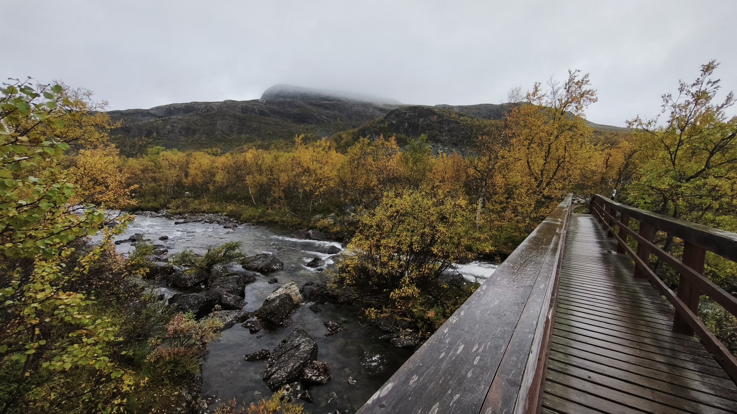
Near Markos-Malla
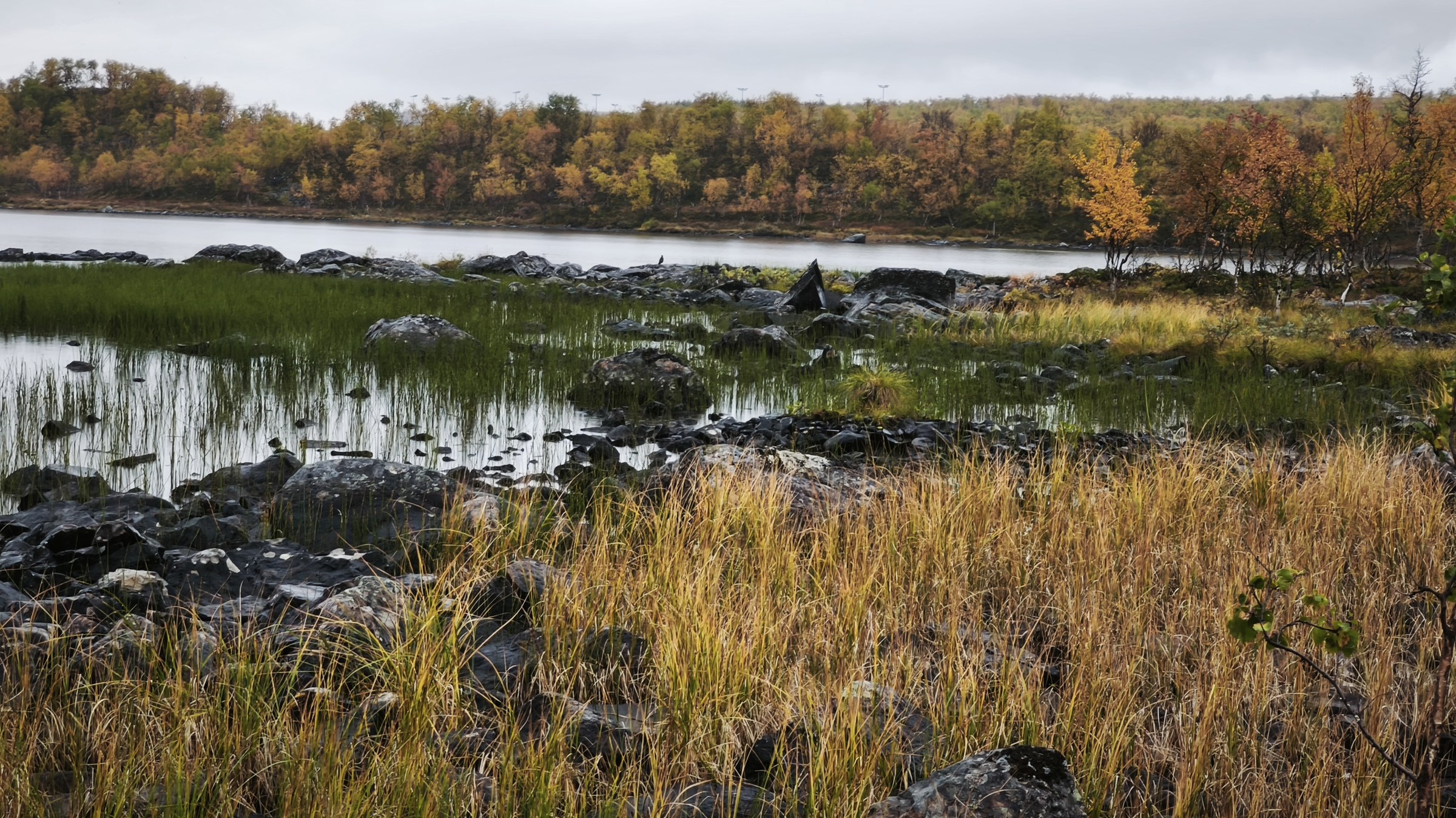
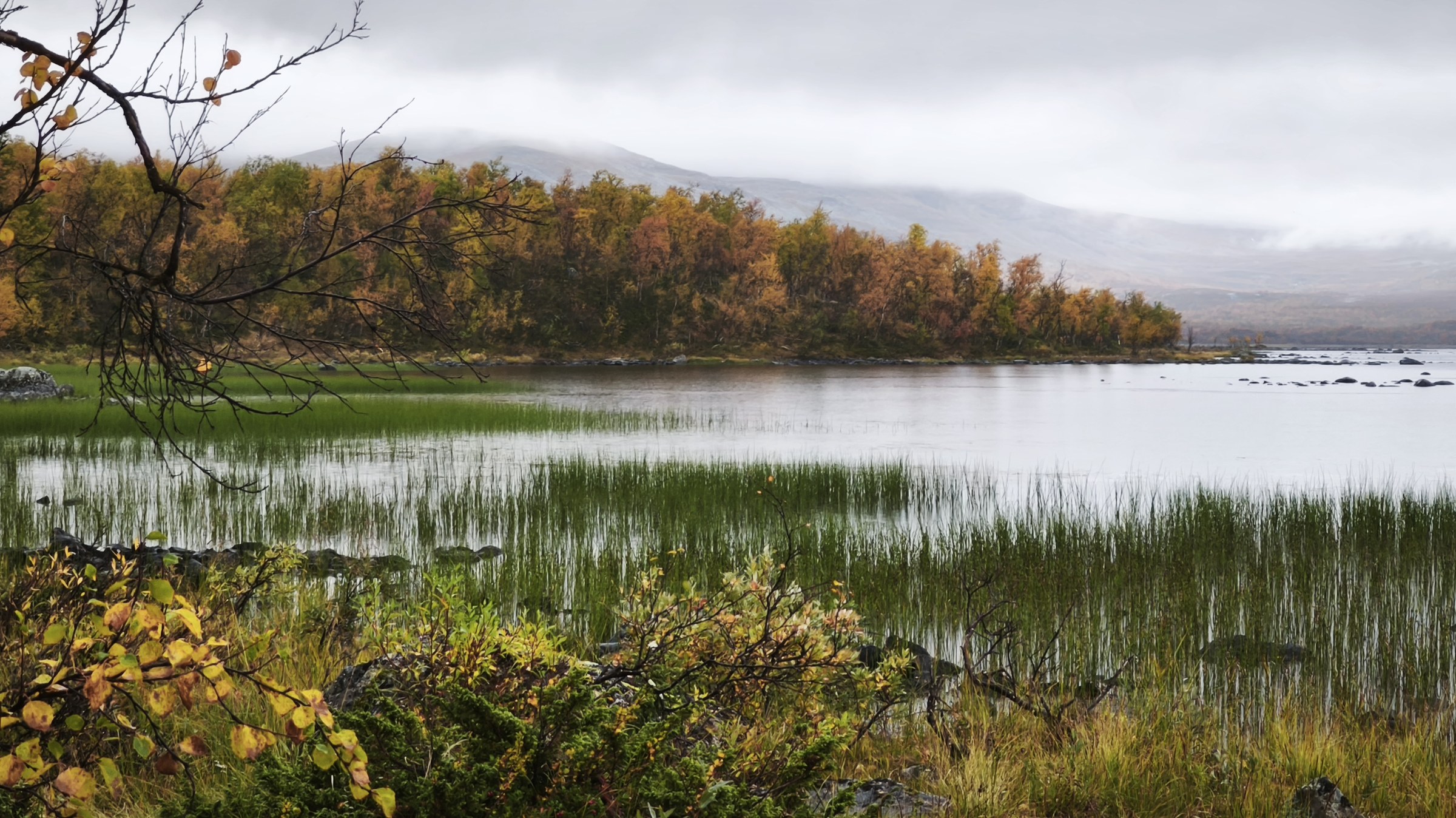
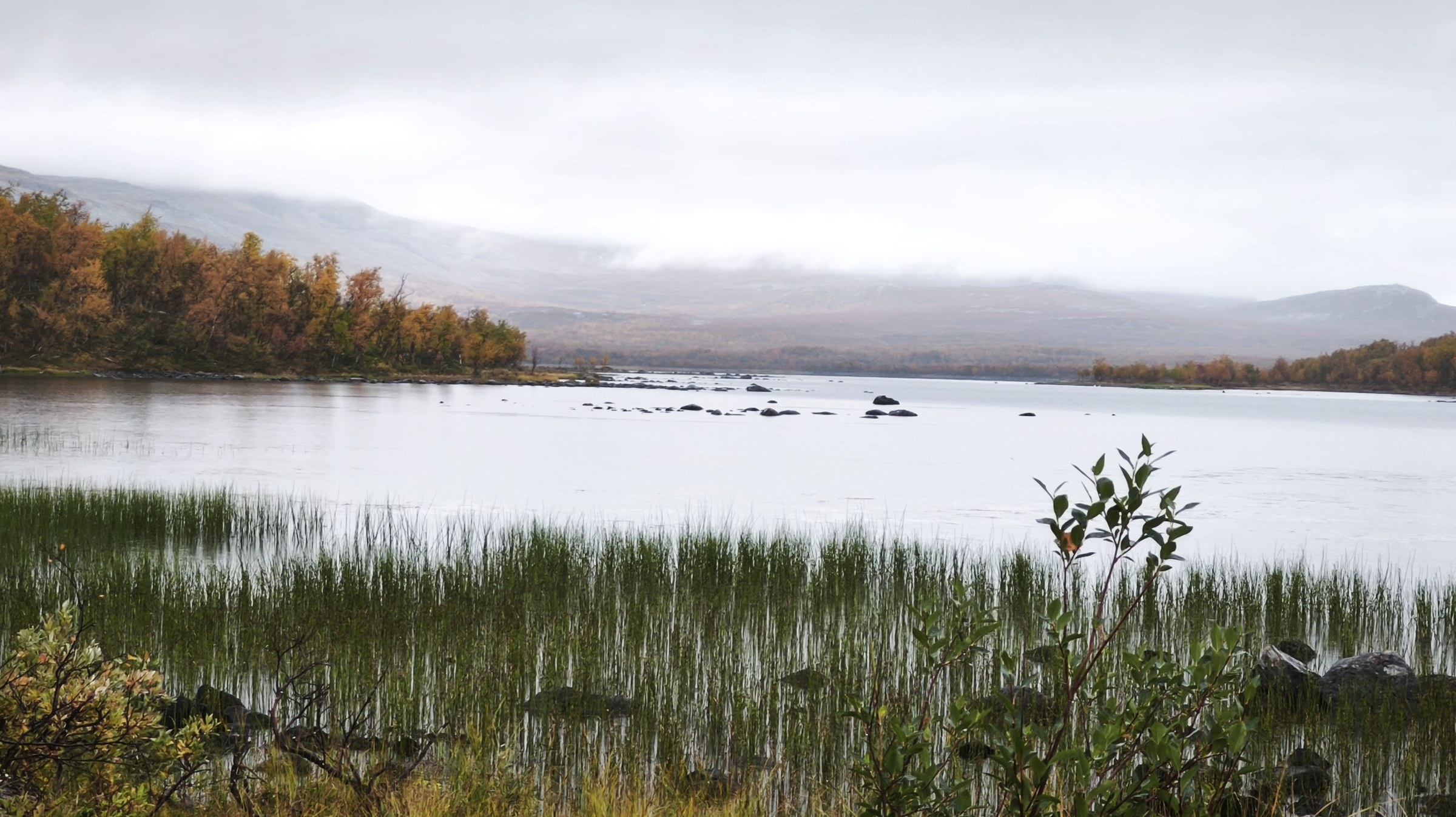
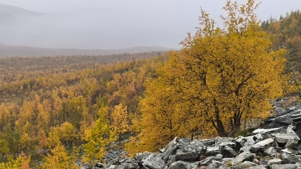
Continuing west
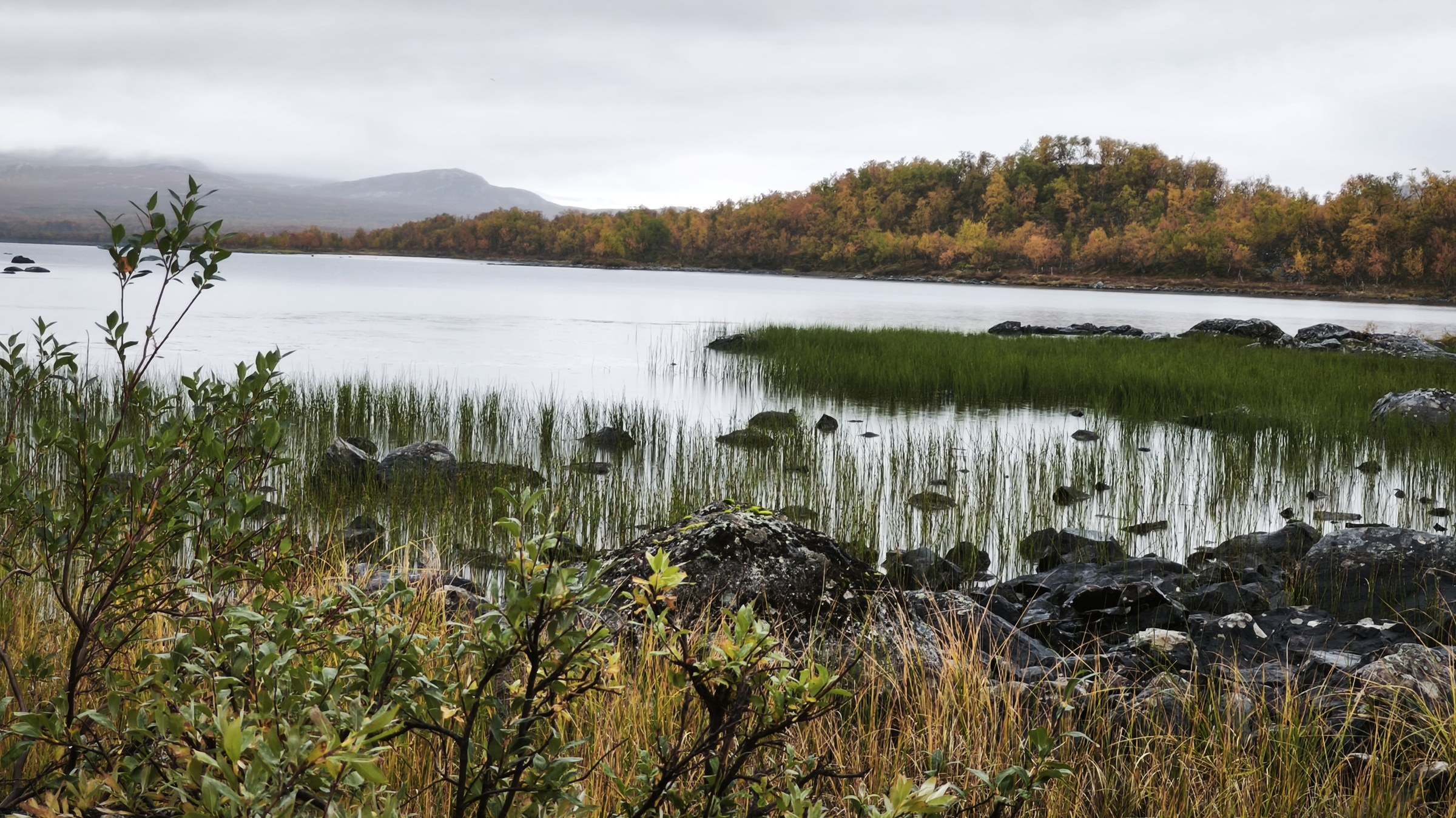
Continuing west
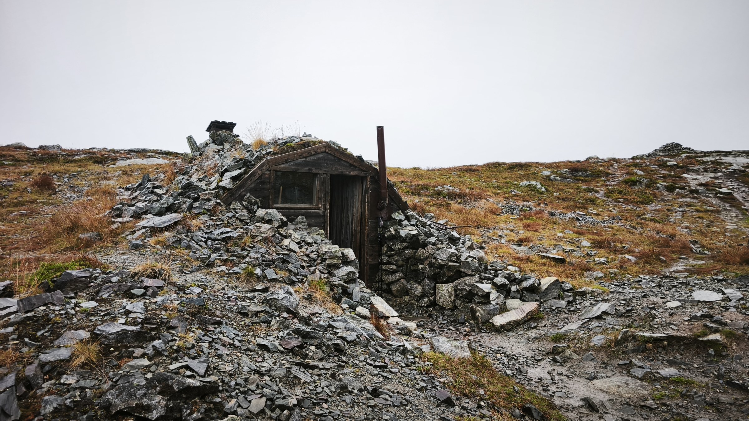
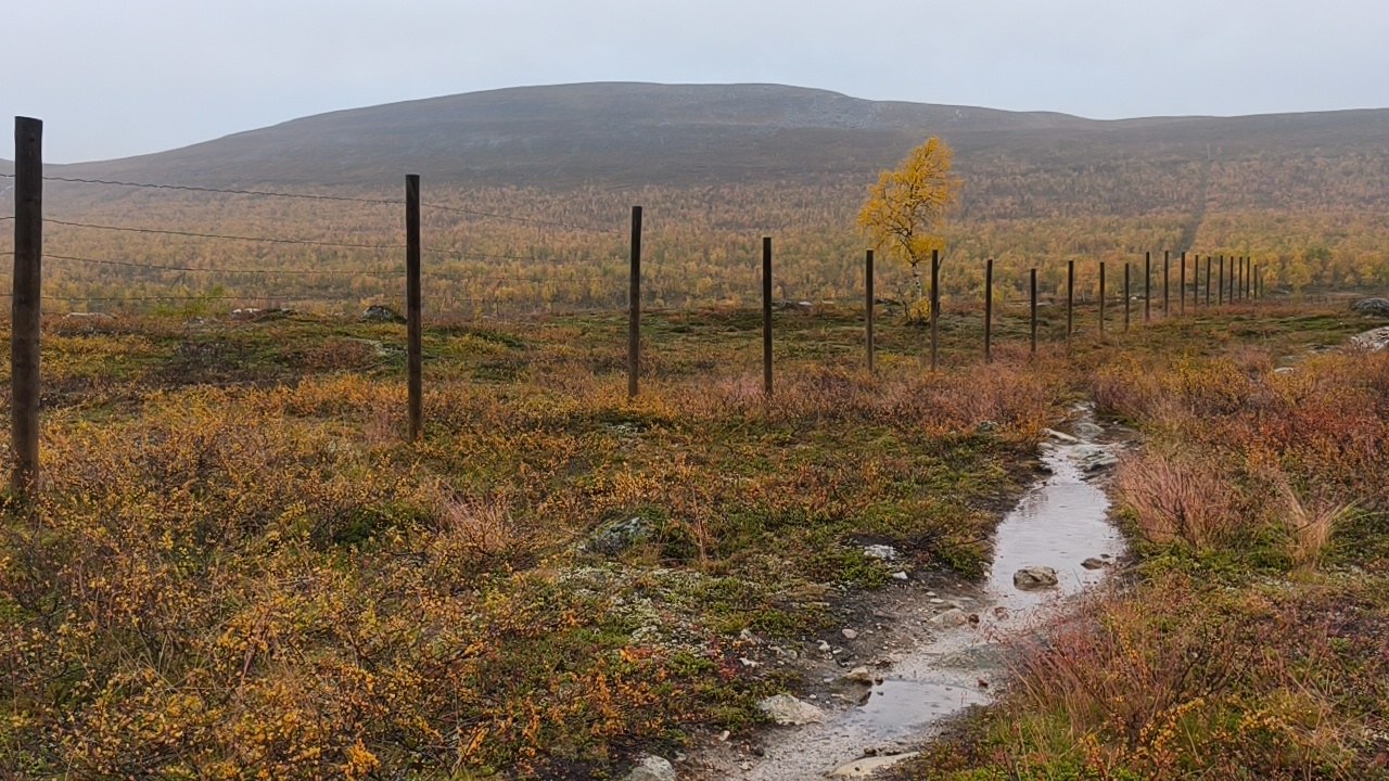
Further west