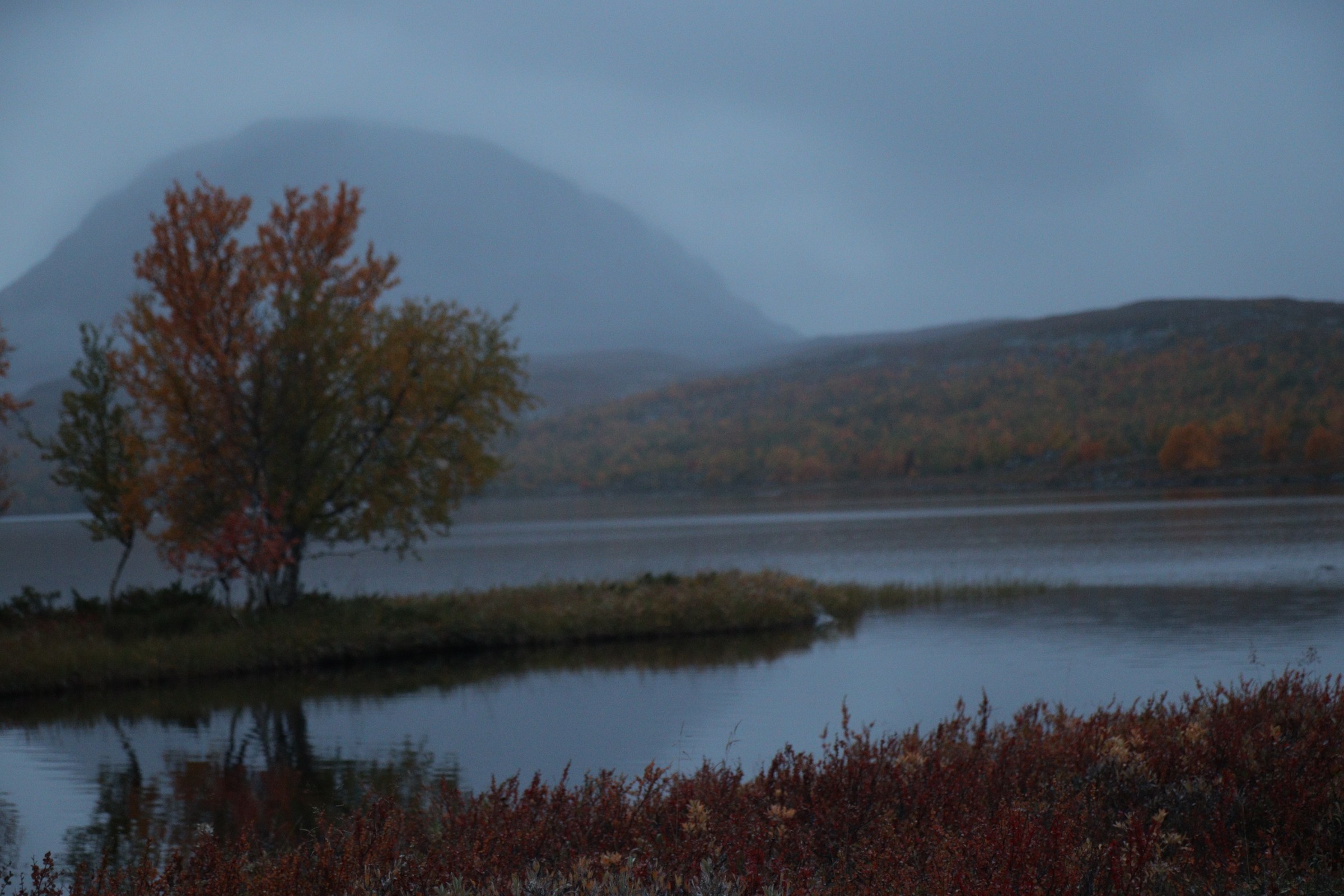
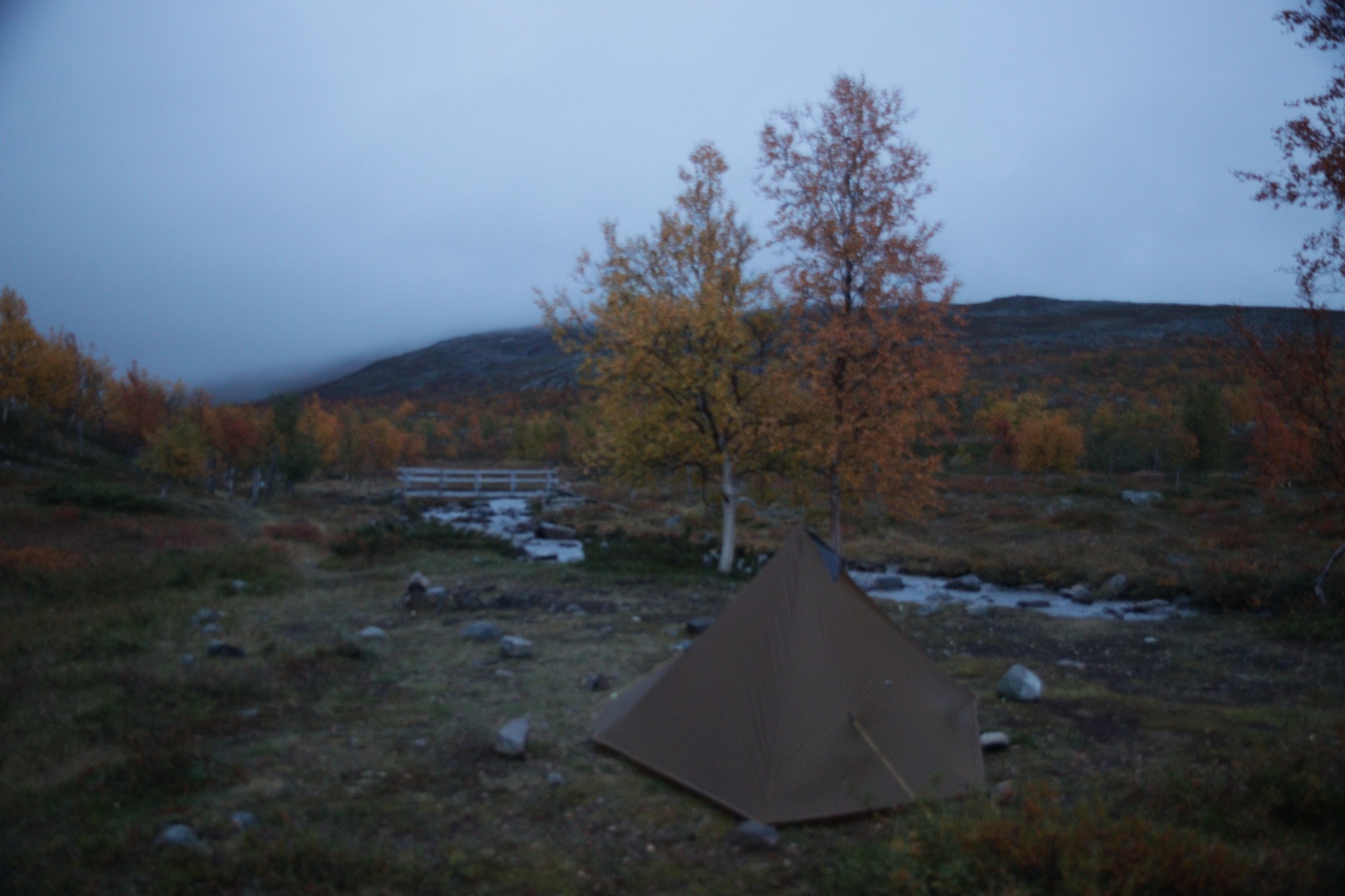
Lapland · Finland · August 2026

Kilpisjärvi Trek — Day 1: First Steps from the Trailhead

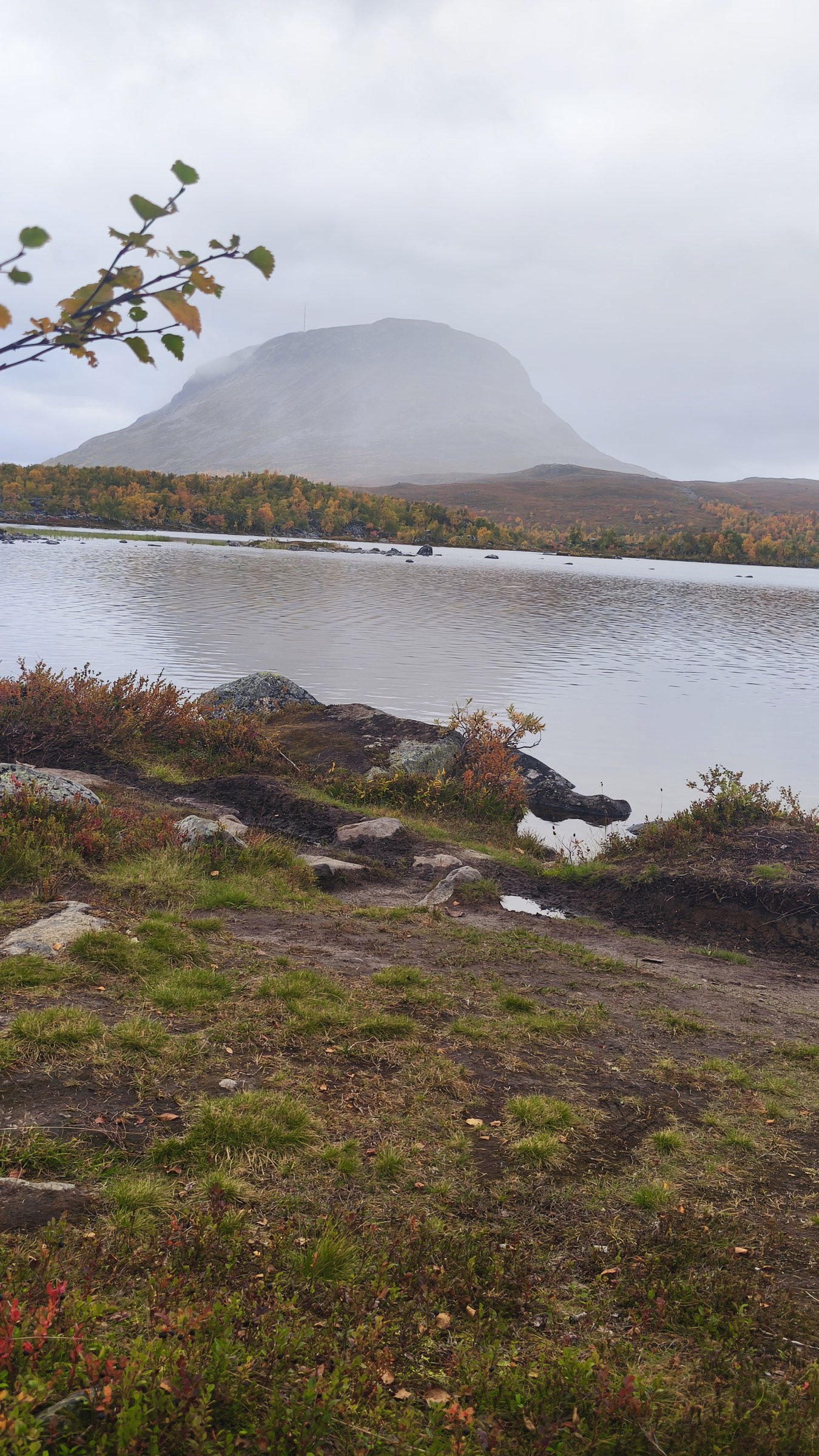
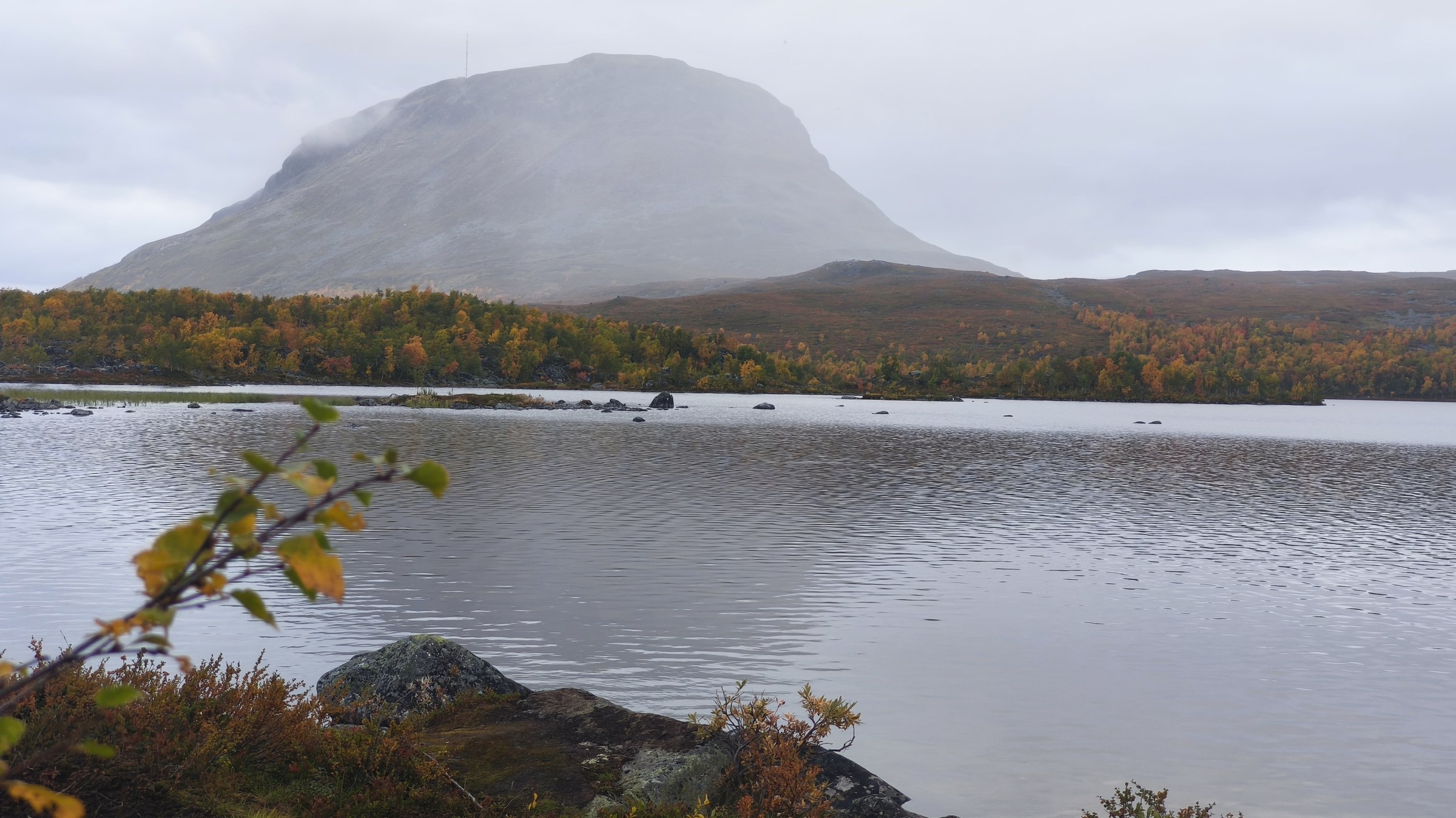
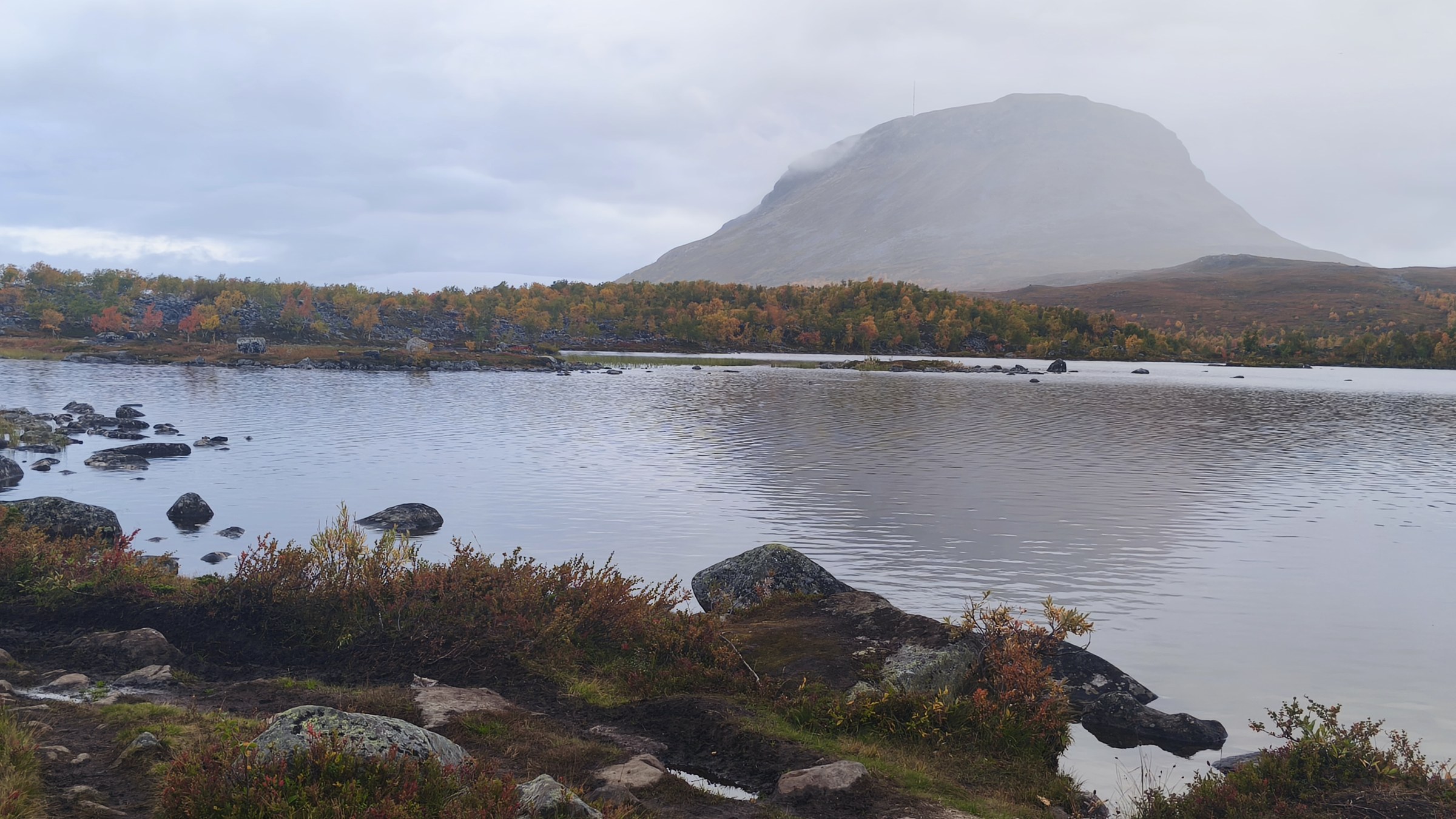
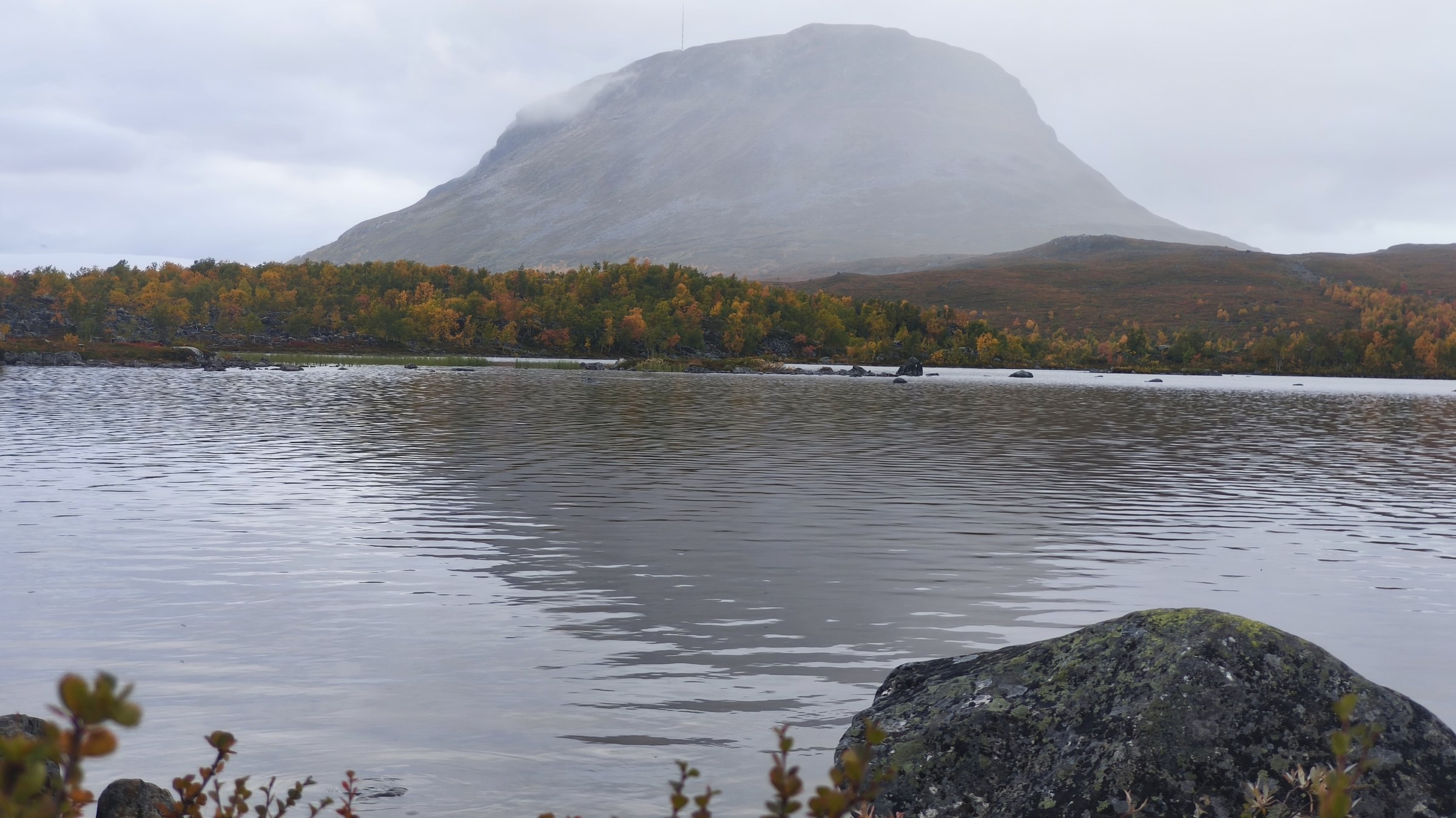
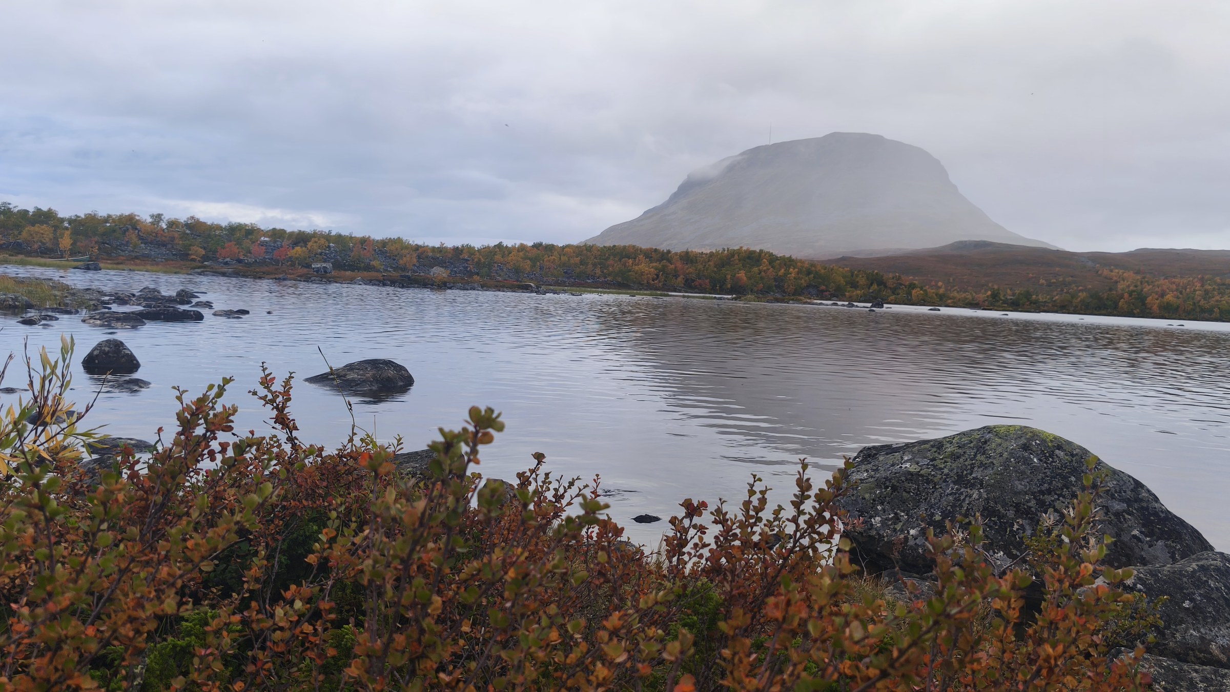
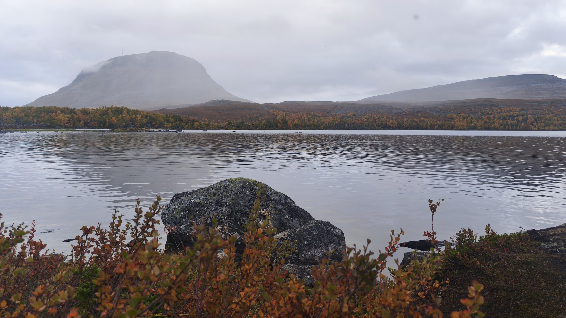
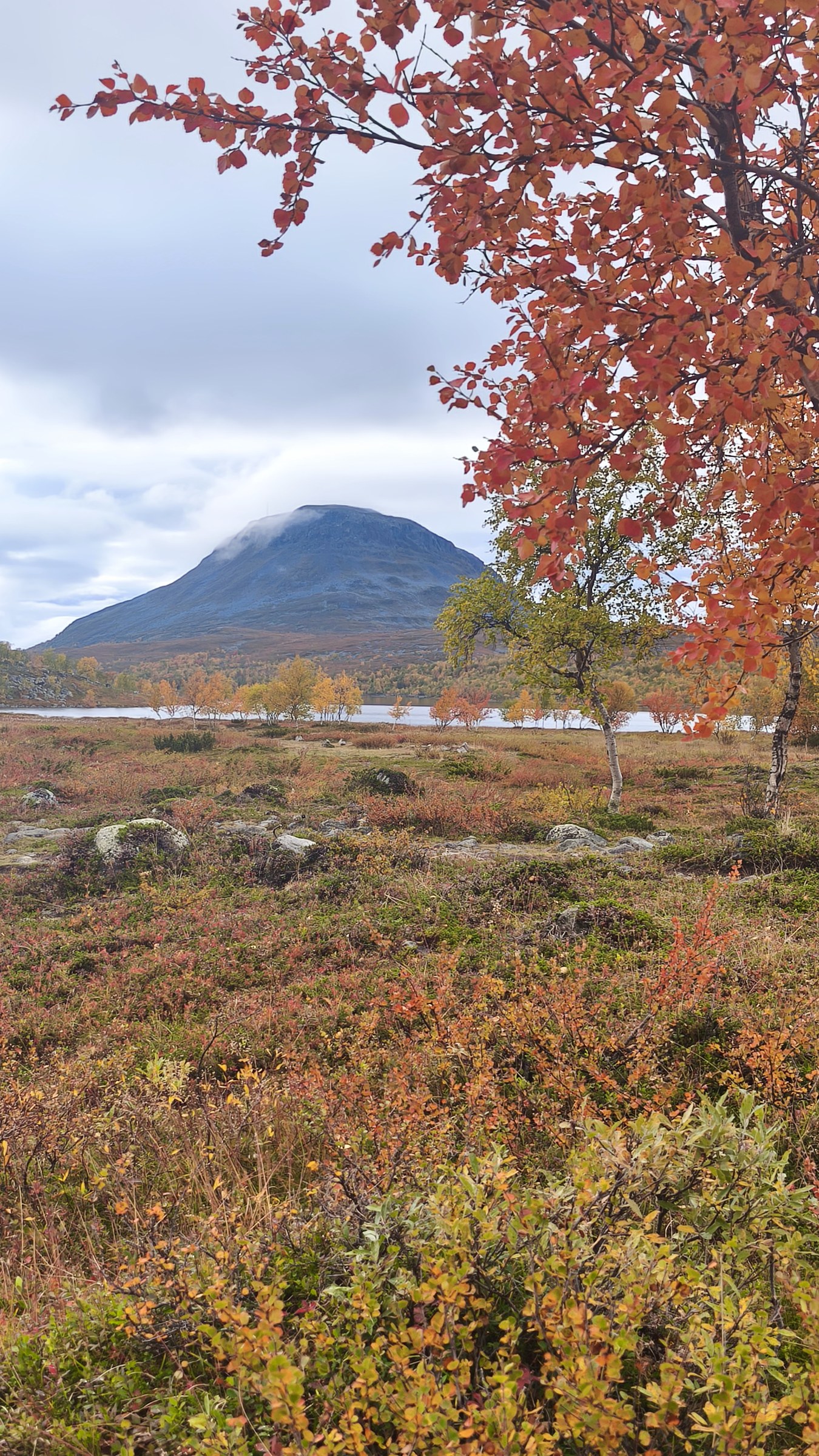
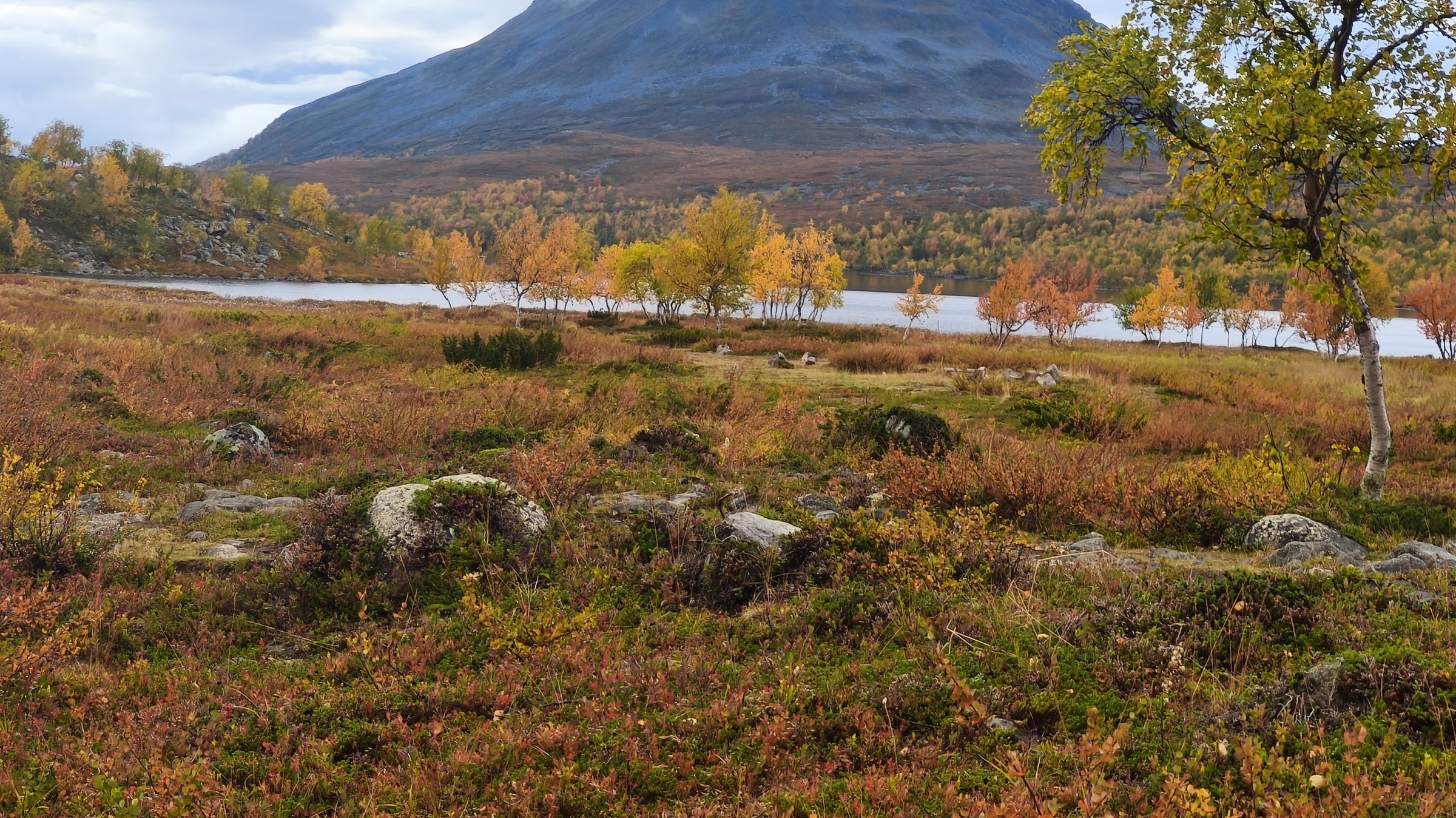
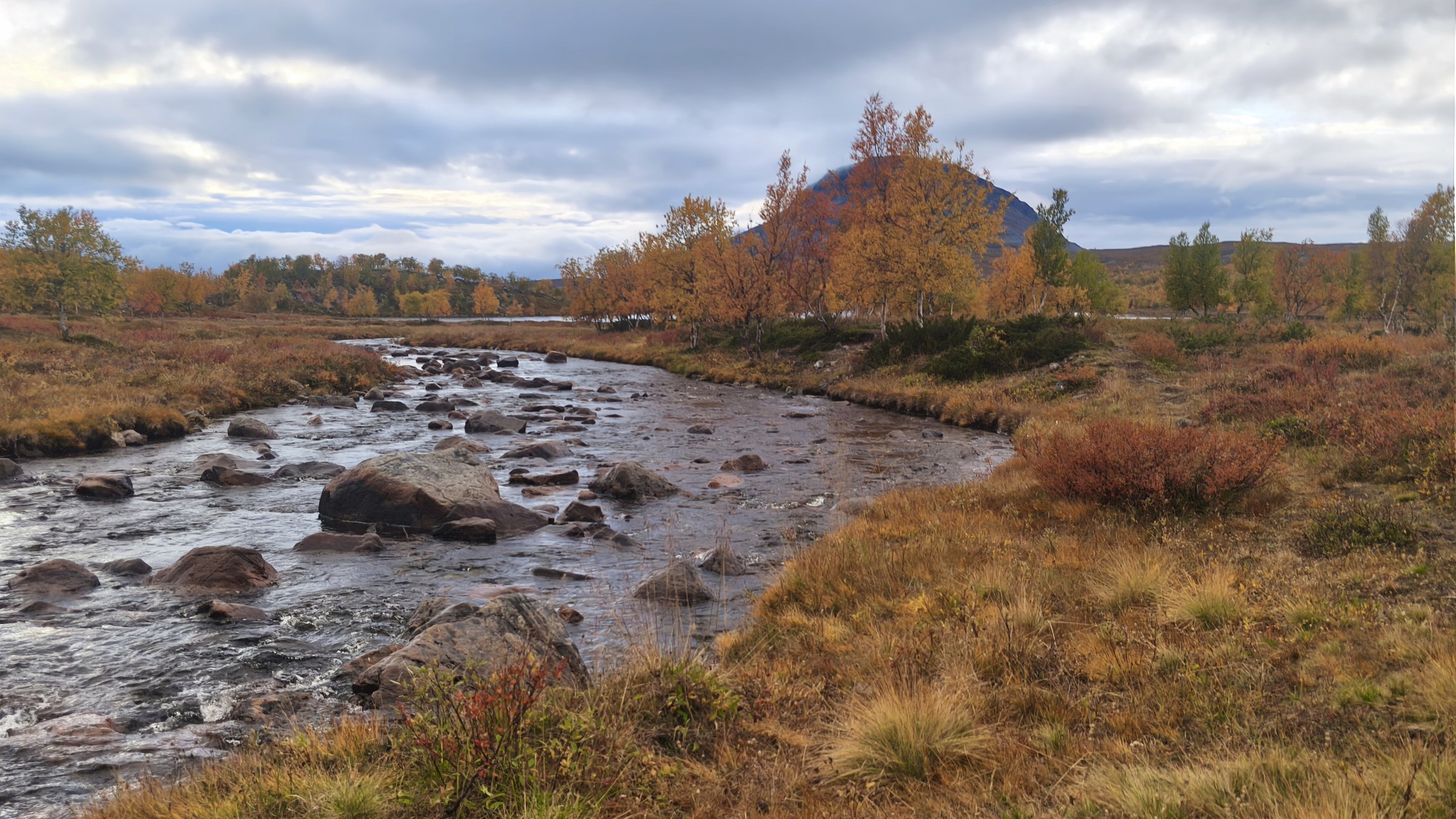
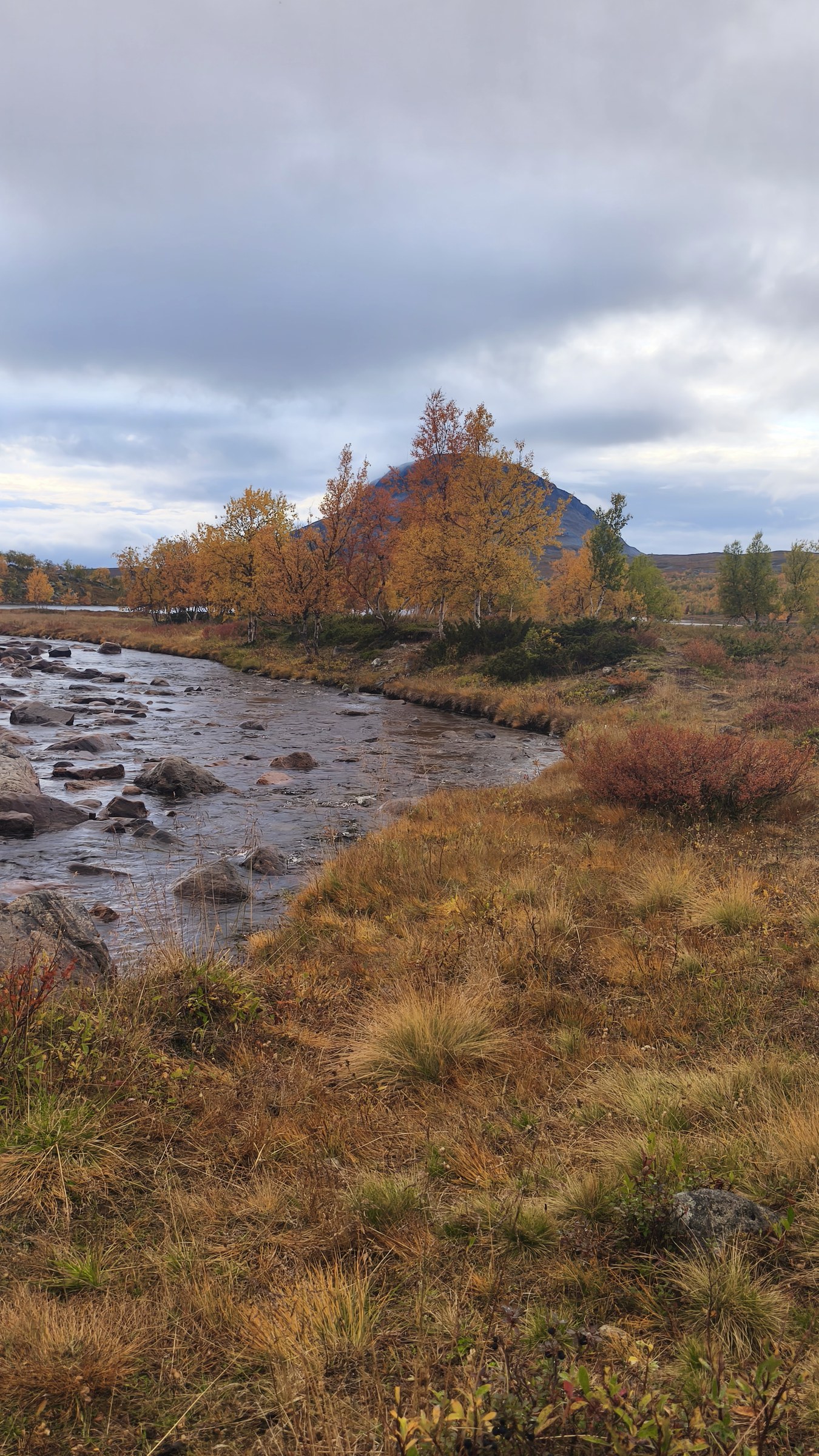
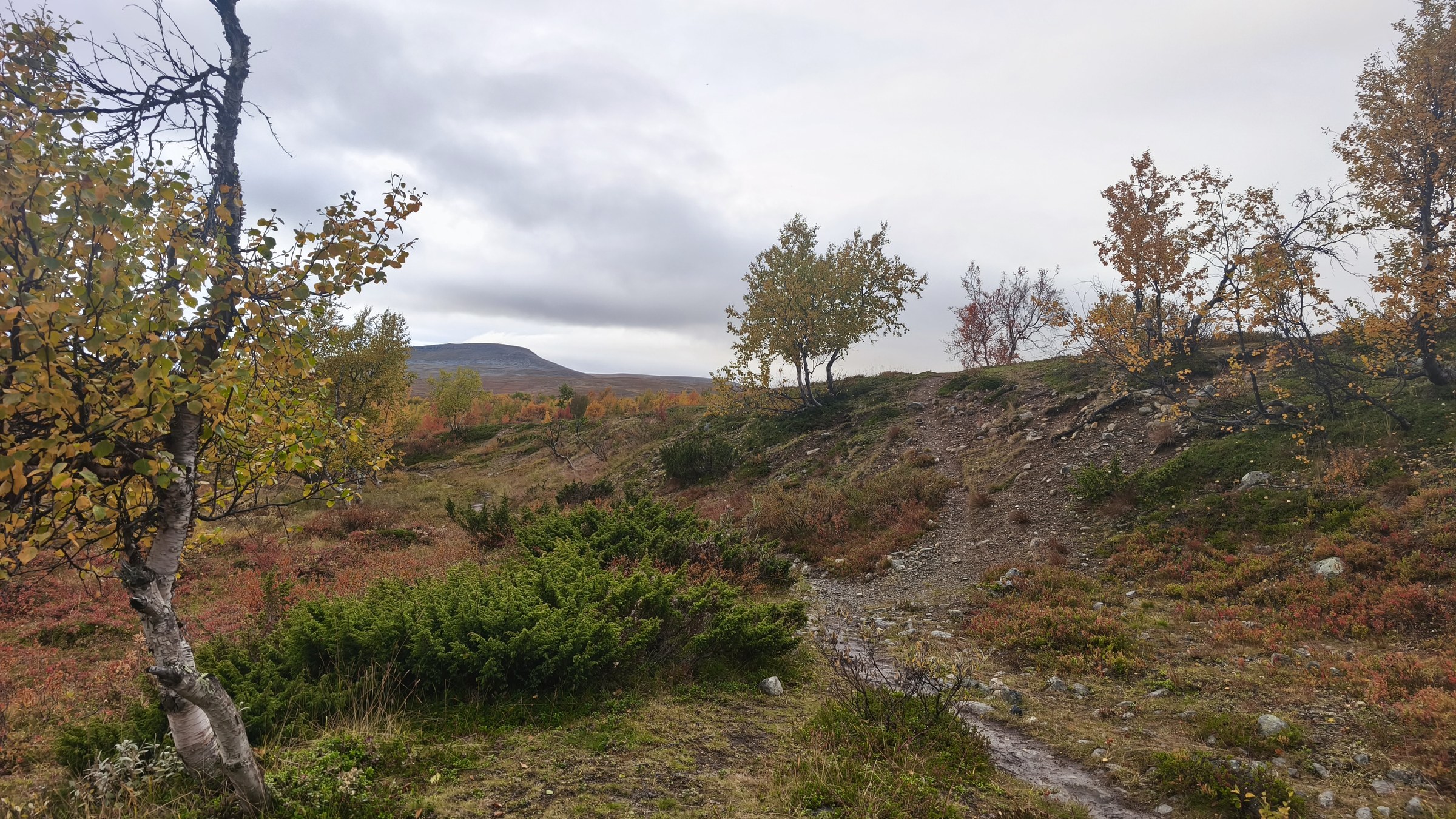
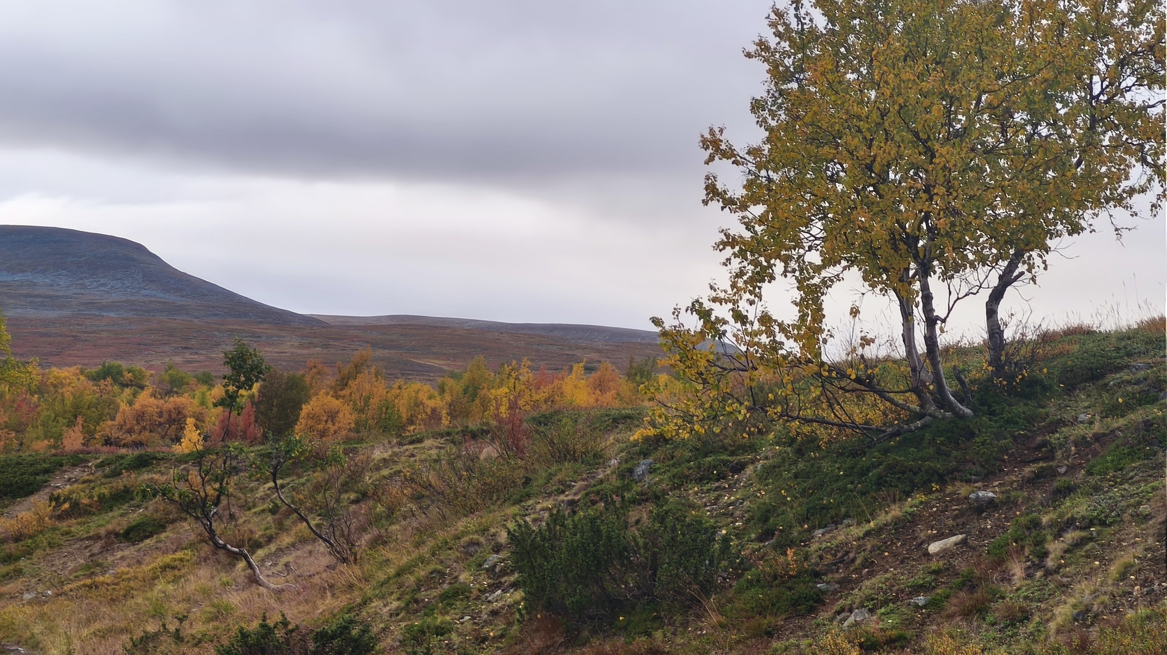
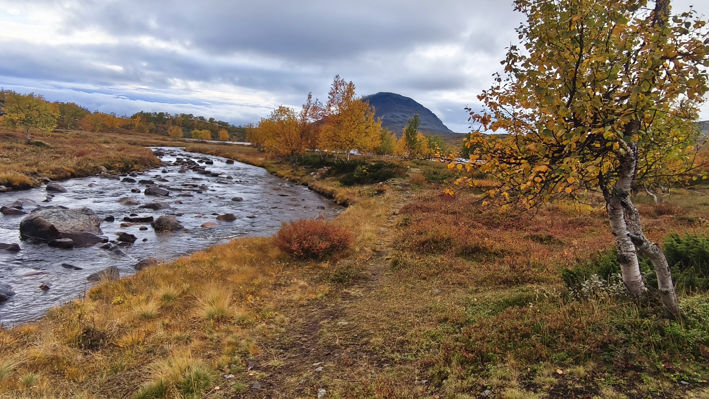
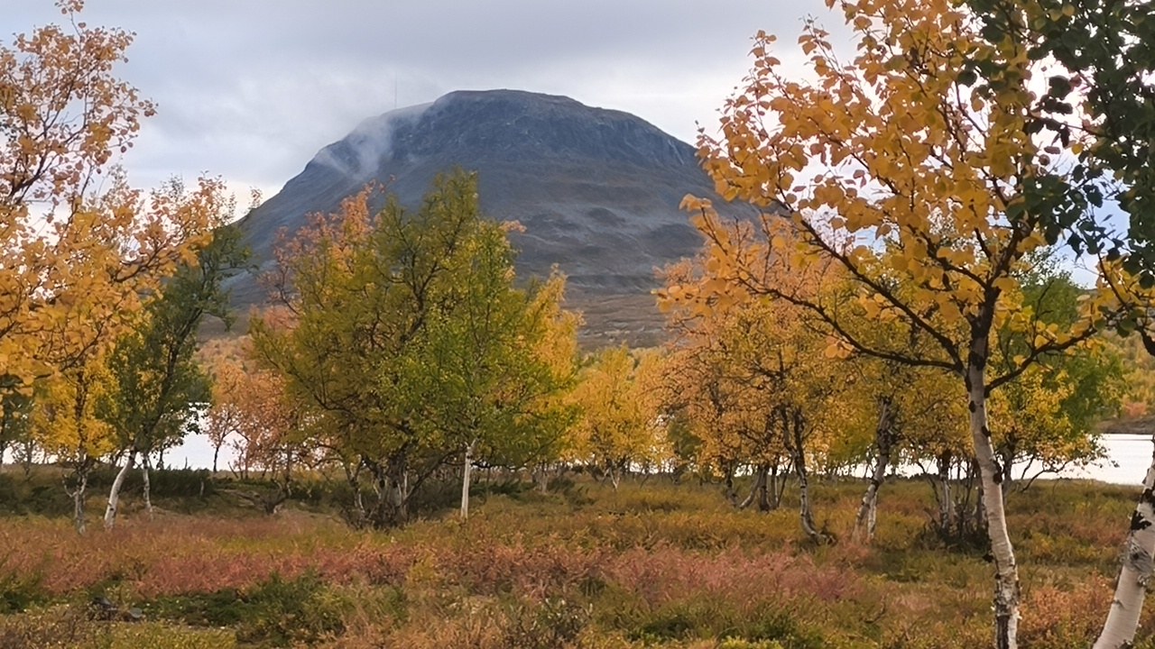
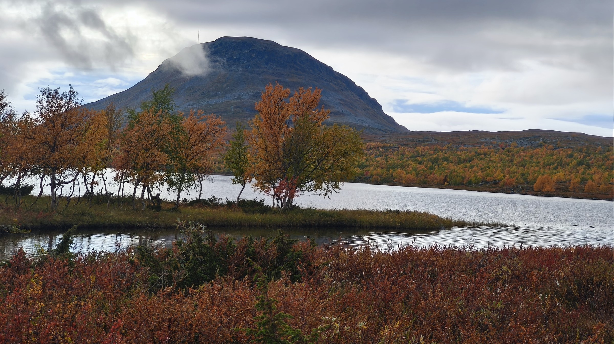
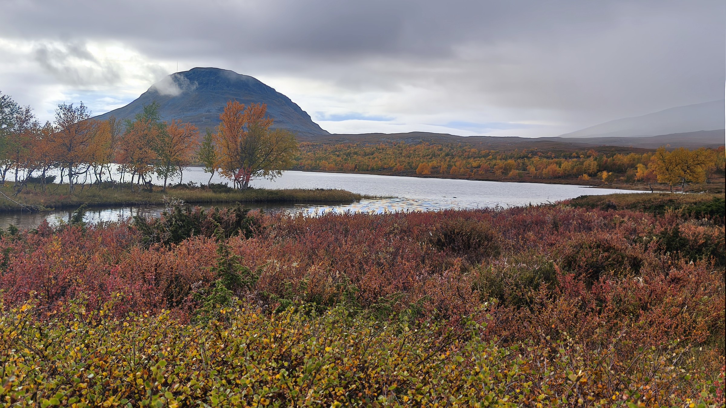
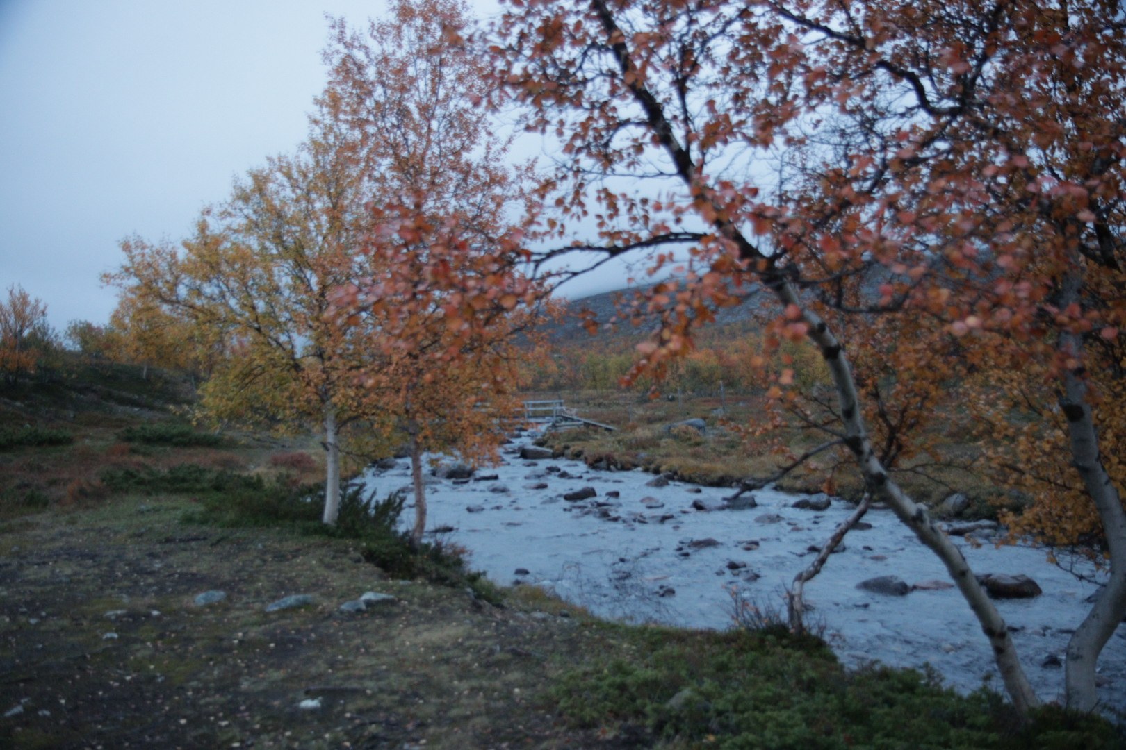
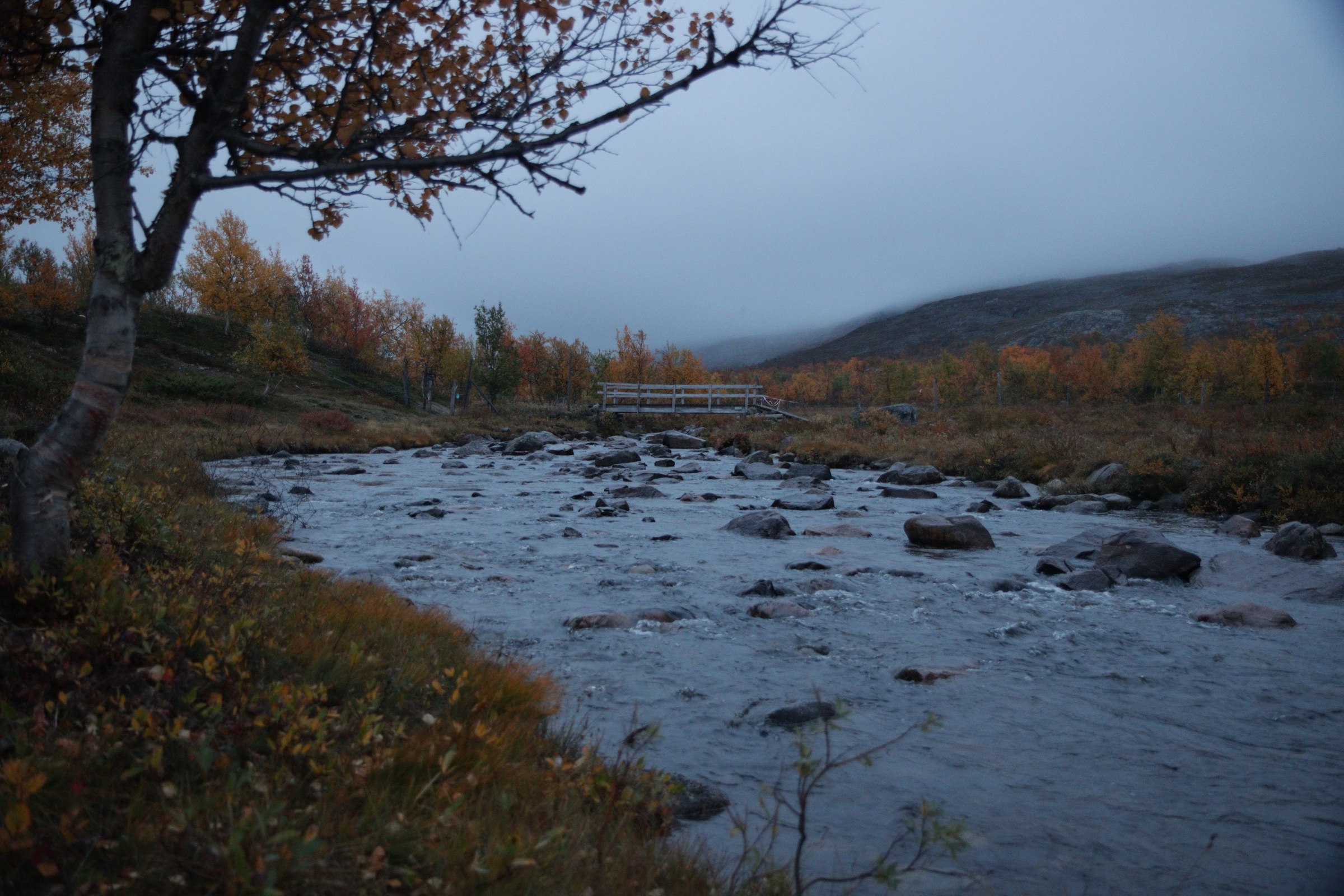
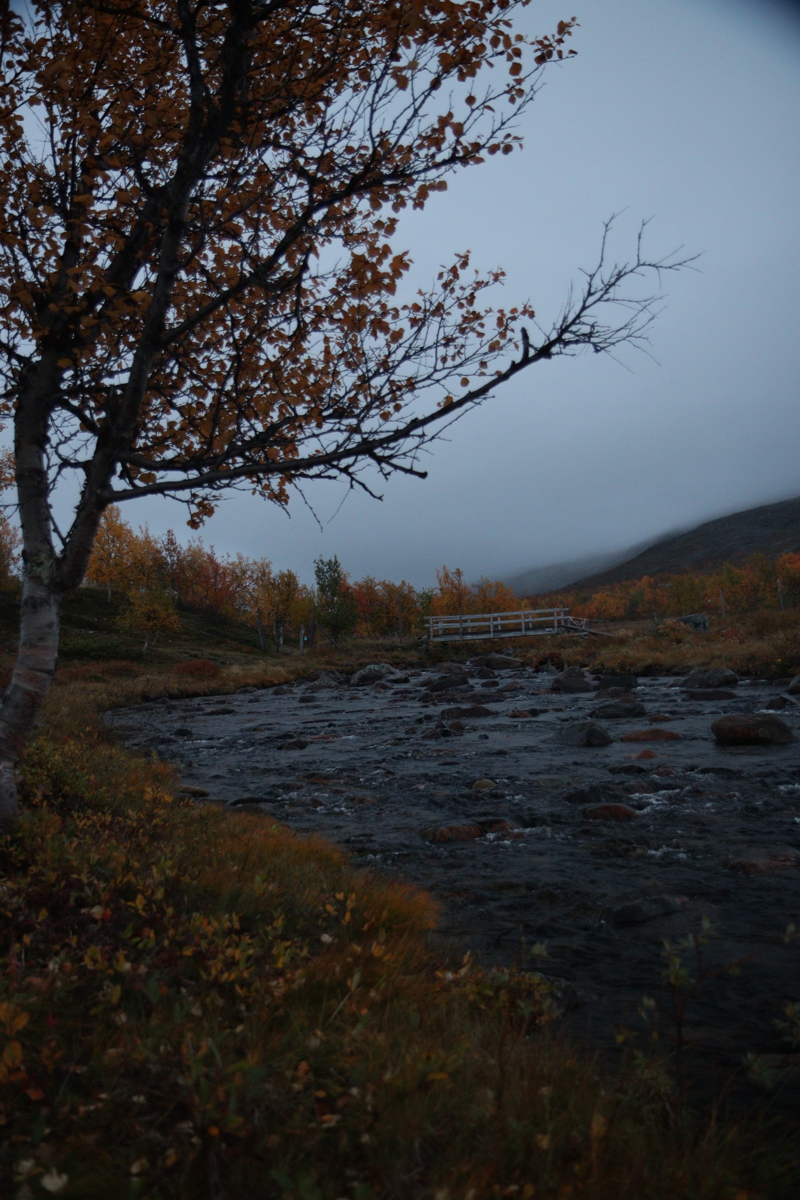
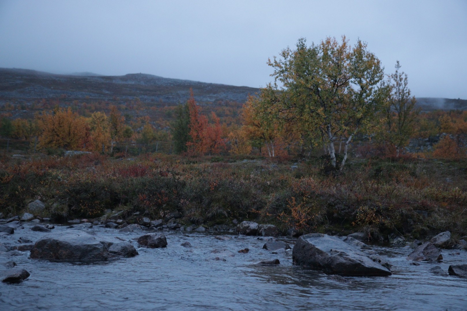
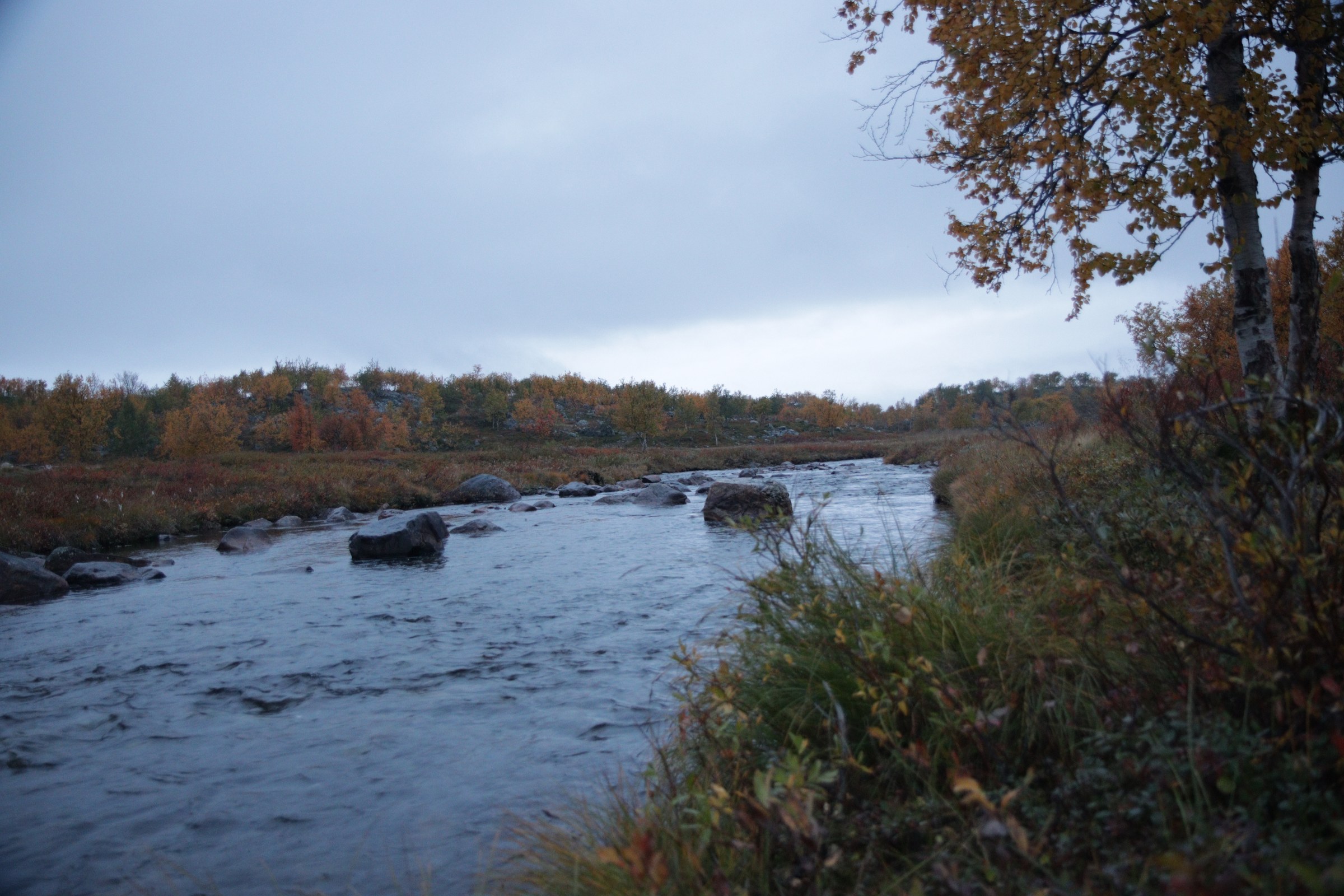
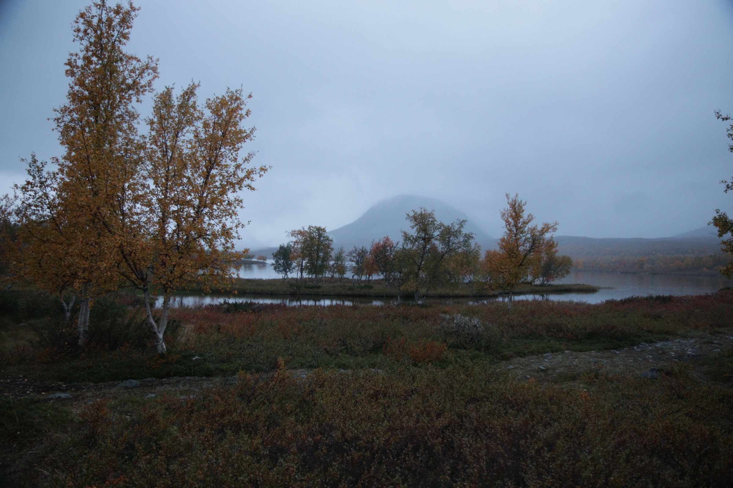
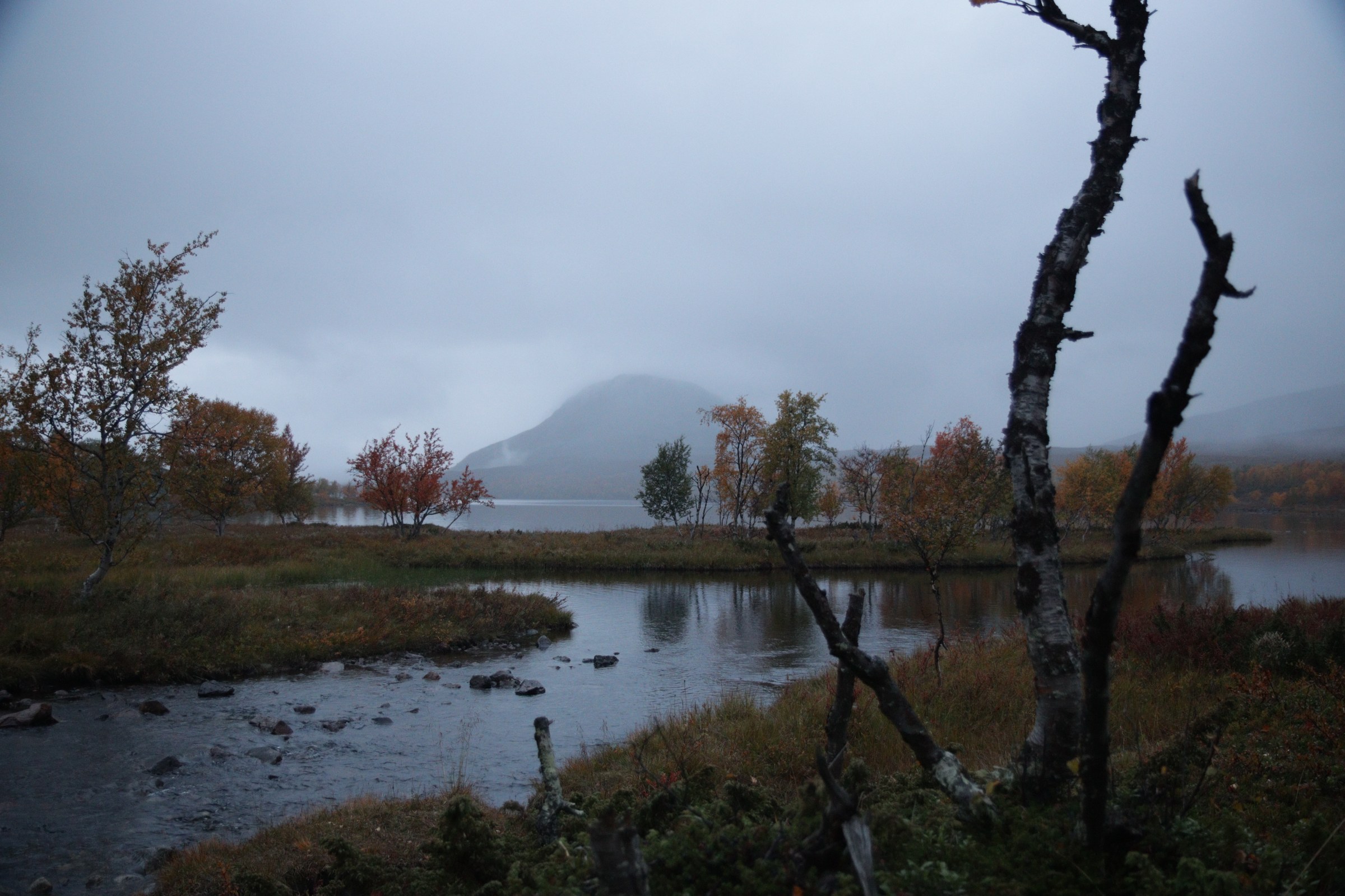
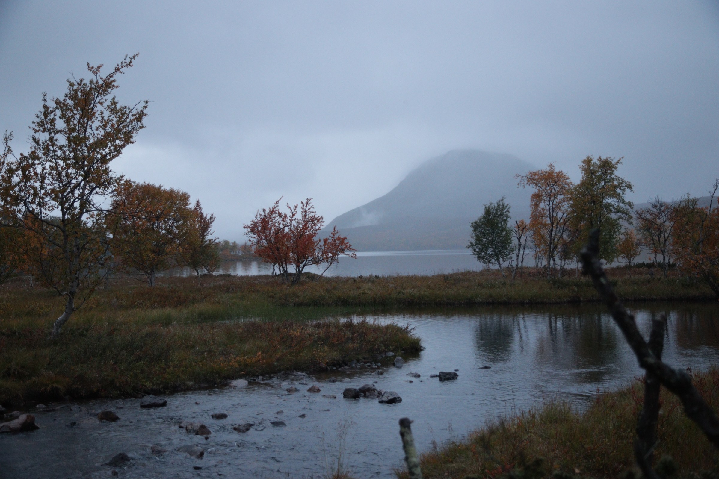
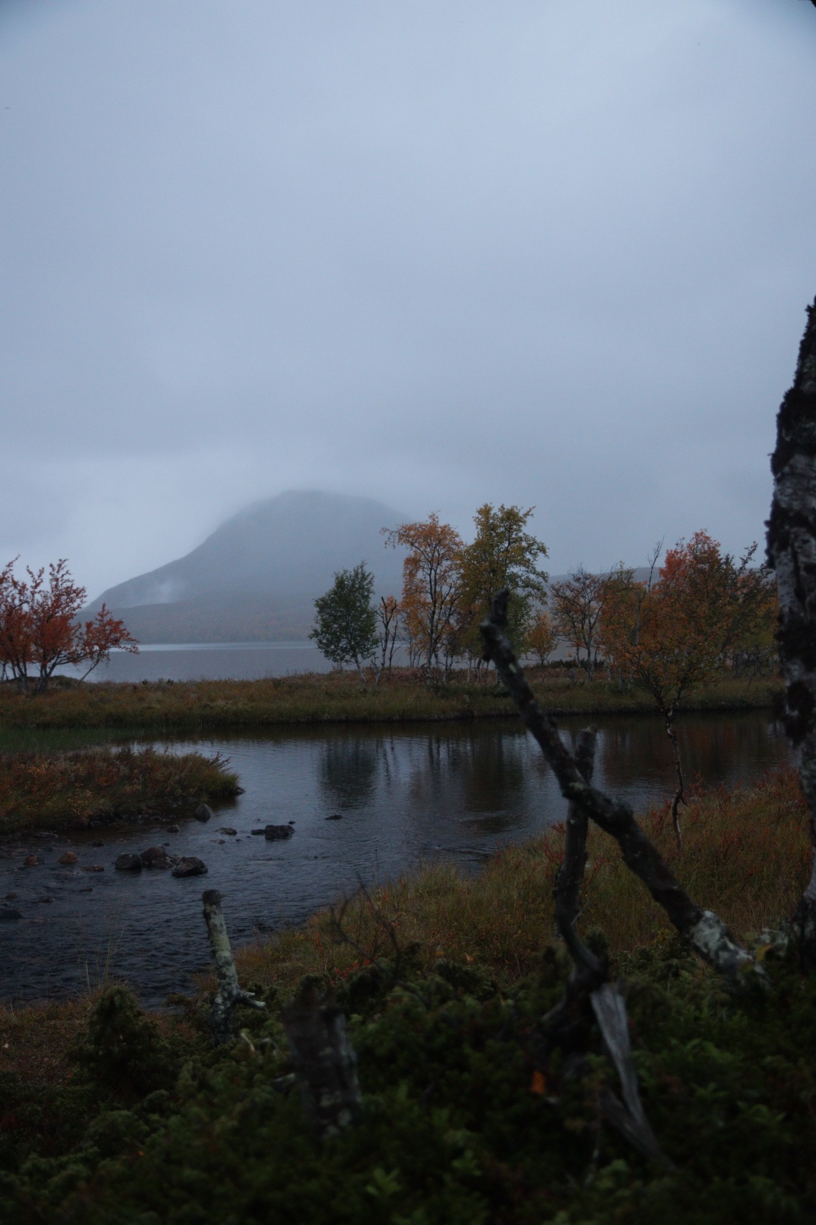
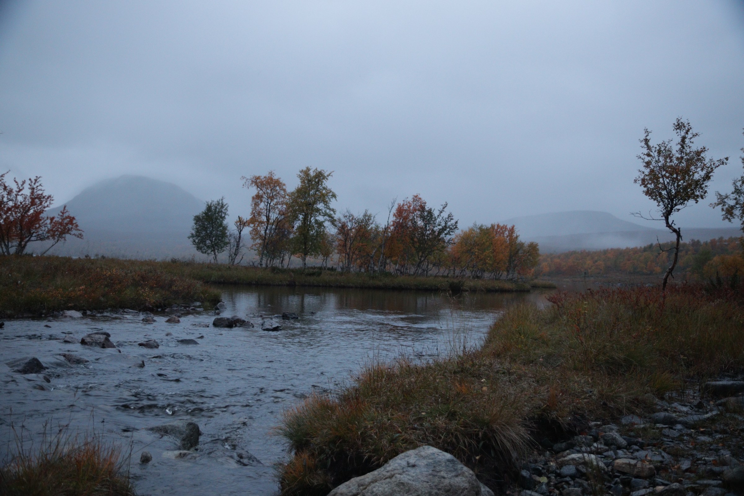
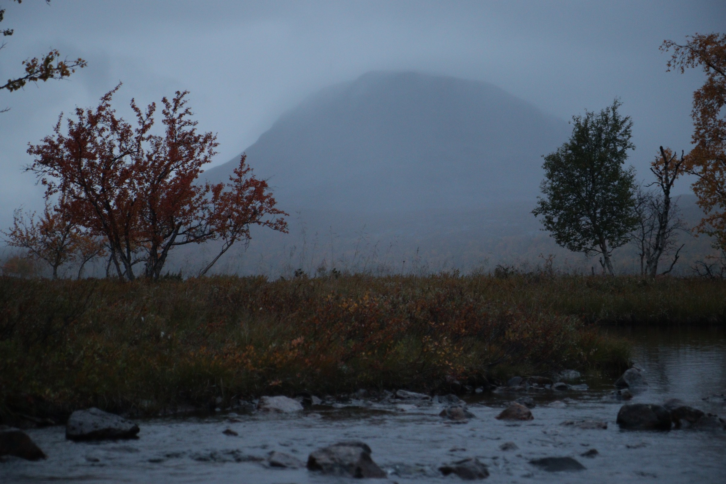
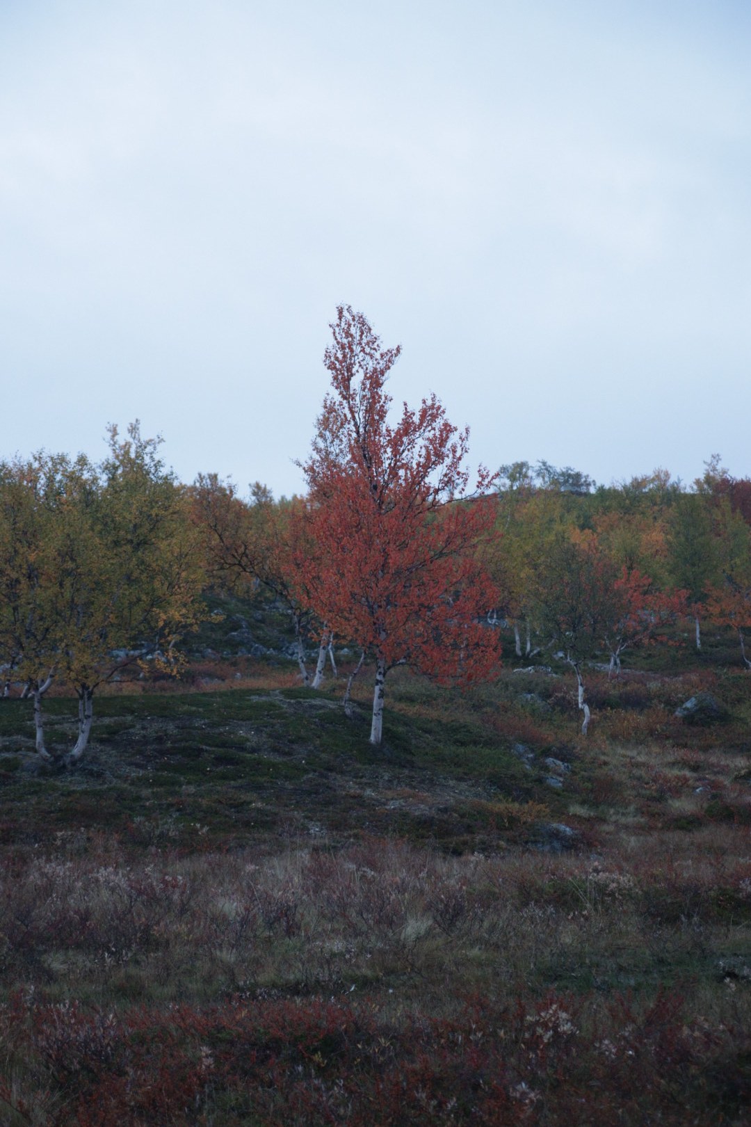
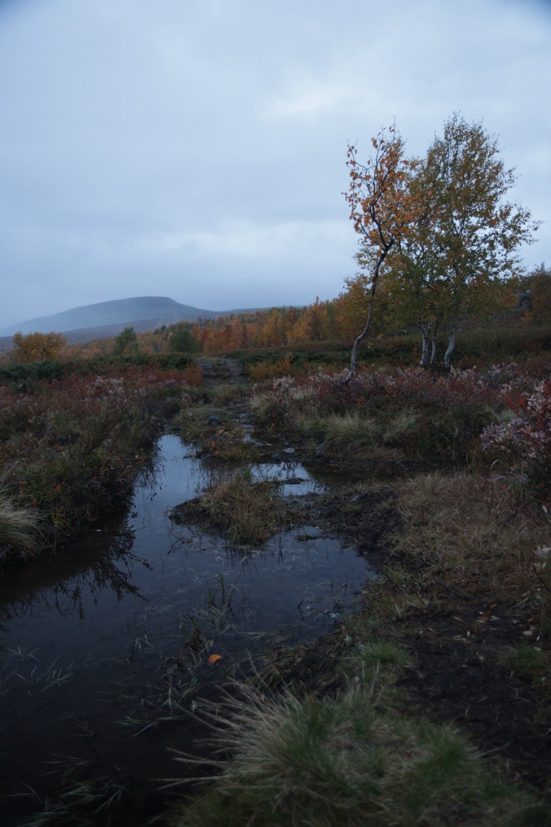
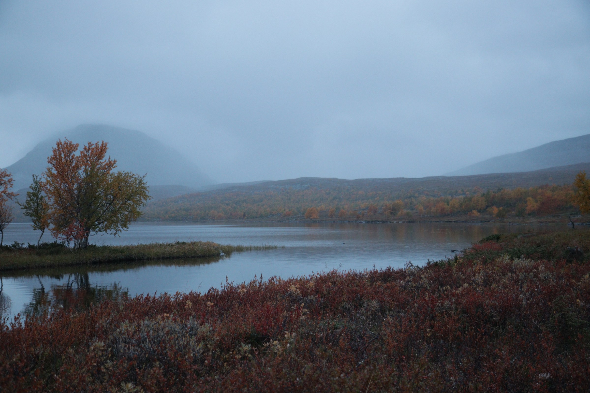
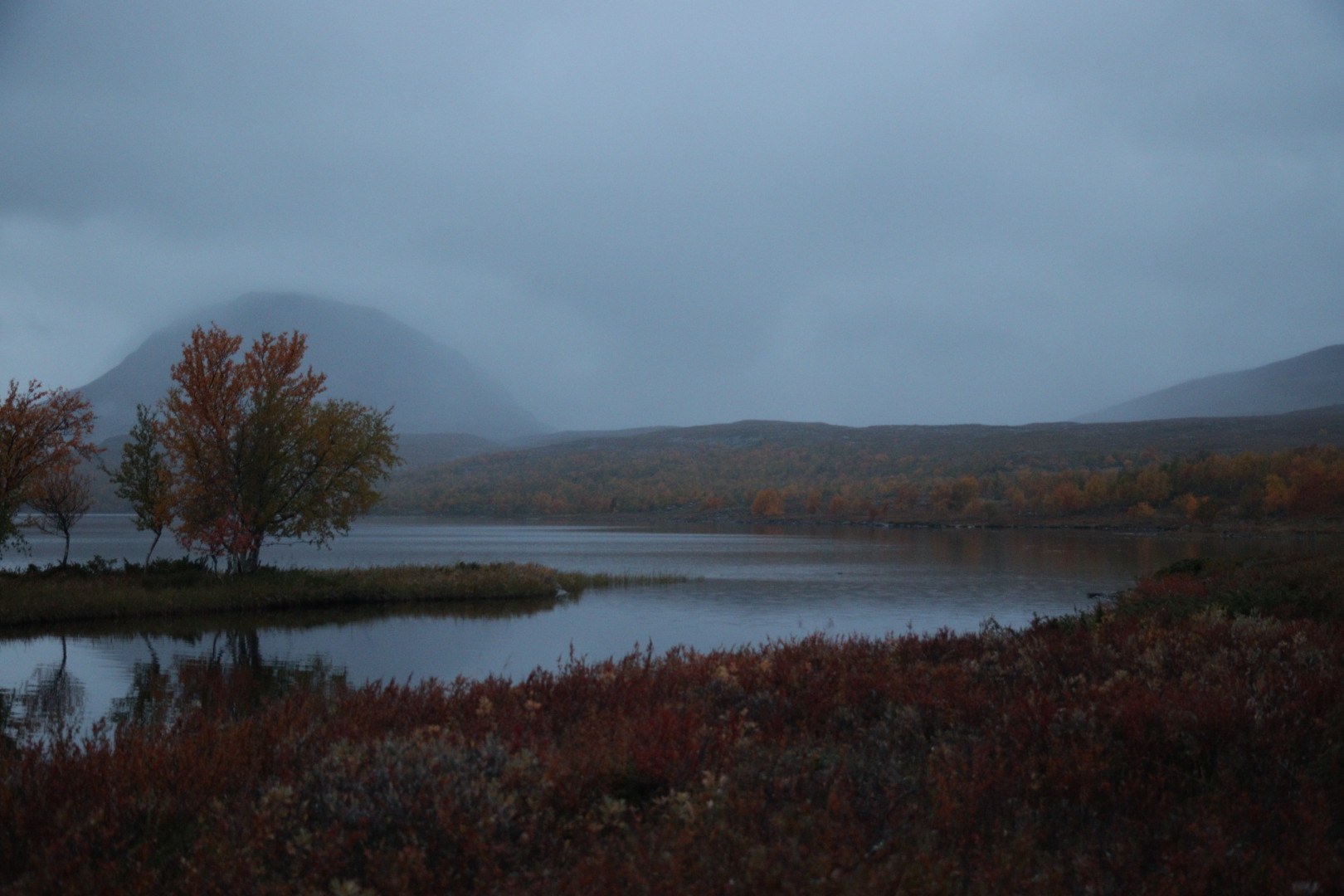
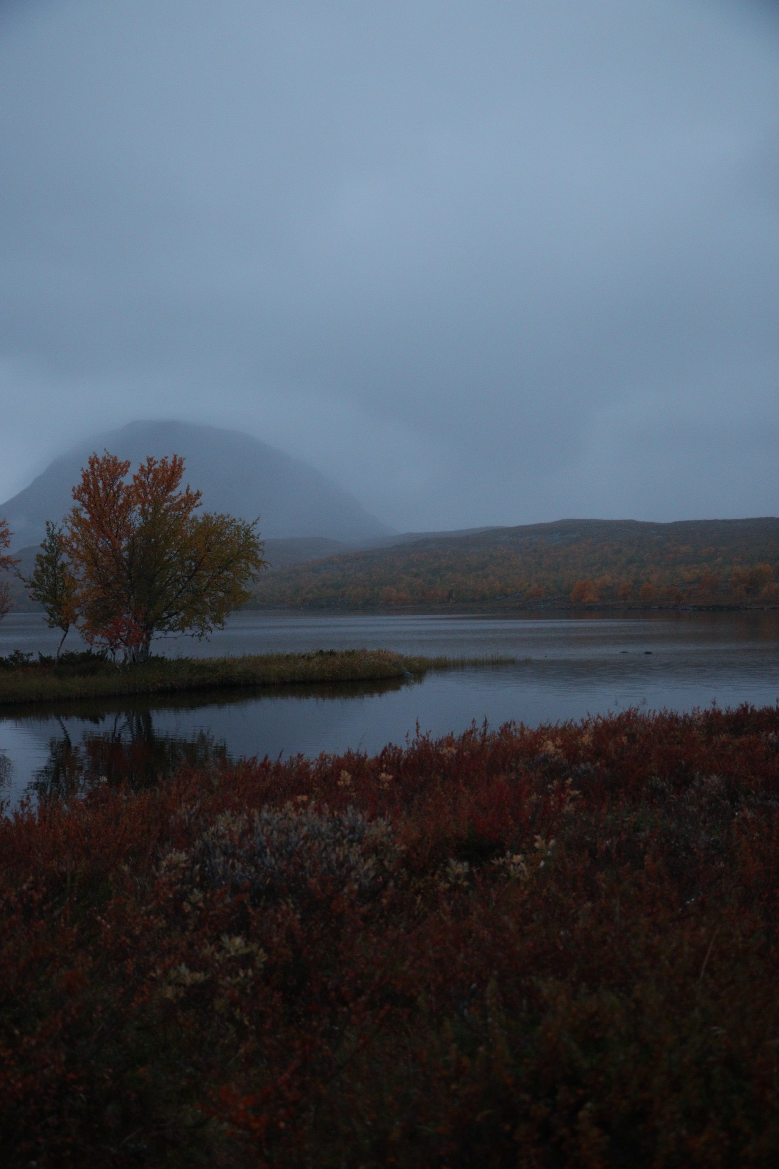
The first evening of the Kilpisjärvi trek: setting out from near the village, below Saana fell, to a camp near Čáhkáljávri — about 2.3 km. The map is the official Finnish National Land Survey terrain map, with the real GPS track calibrated onto it.

2 photos — click2 1 photo — click1 10 photos — click10 27 photos — click27 2 km
GPS-calibrated map
Numbers = photos taken there. Tap a point to view them.
© National Land Survey of Finland (NLS) — terrain map
Day 1 · Sep 1
Near Saanajärvi
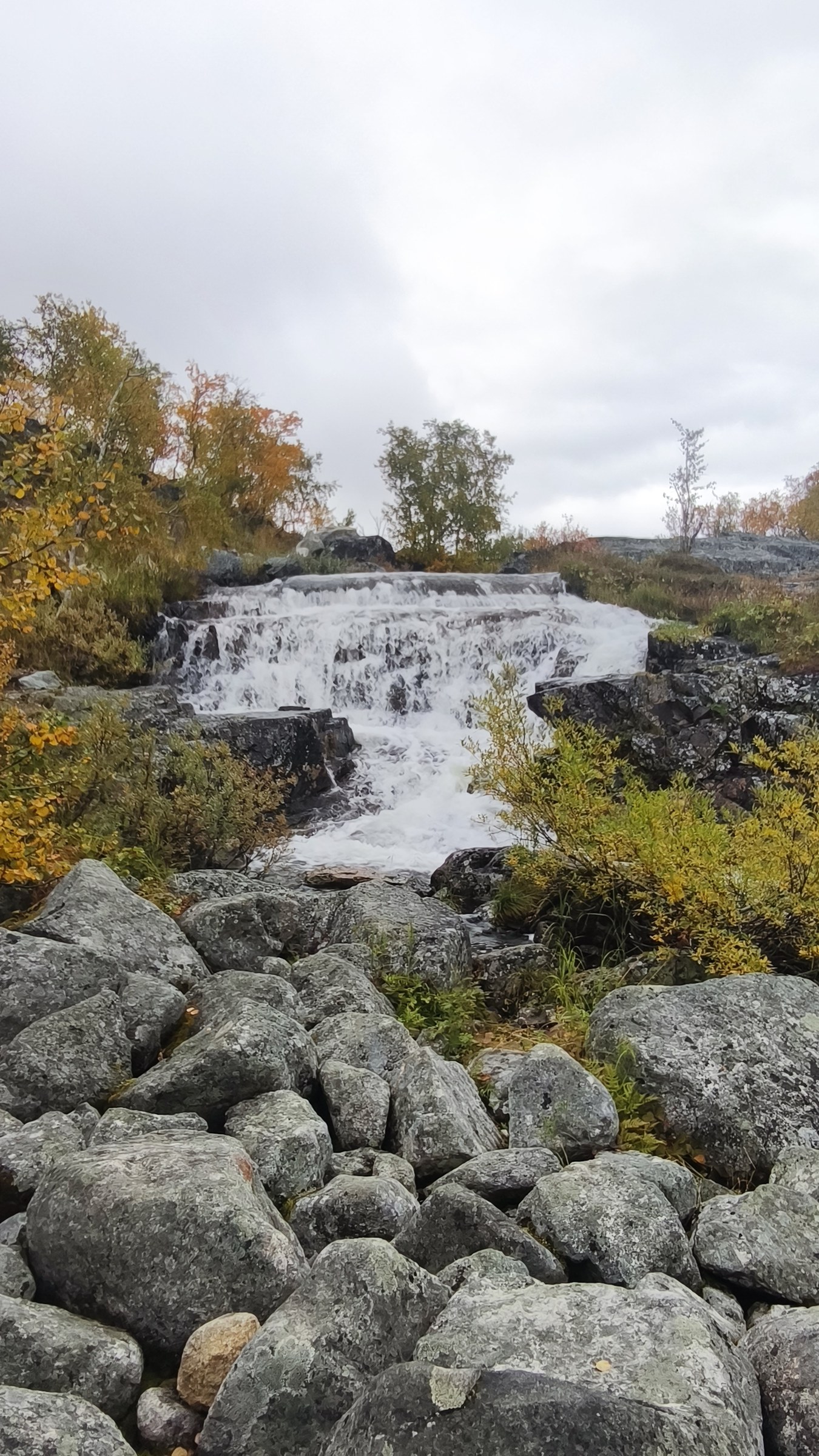
18:30–18:31 · 0 m above sea level · 2 photos
01.09 18:3001.09 18:31
Near Saanajärvi
19:13 · 0 m above sea level · 1 photos
01.09 19:13
Near Saanajärvi
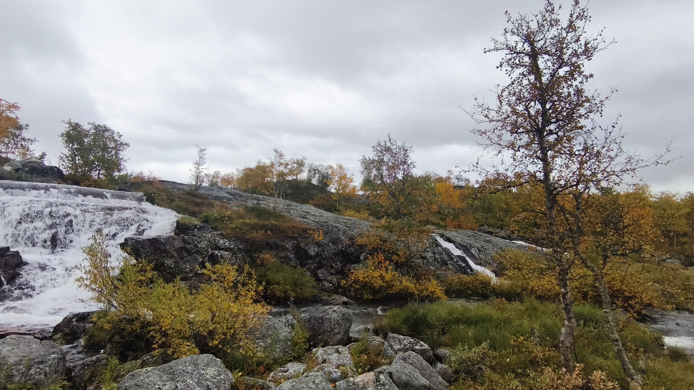
19:13–19:51 · 576 m above sea level · 10 photos
01.09 19:1301.09 19:1301.09 19:1401.09 19:1401.09 19:1401.09 19:5001.09 19:5001.09 19:5001.09 19:5001.09 19:51
Near Čáhkáljávri · evening camp
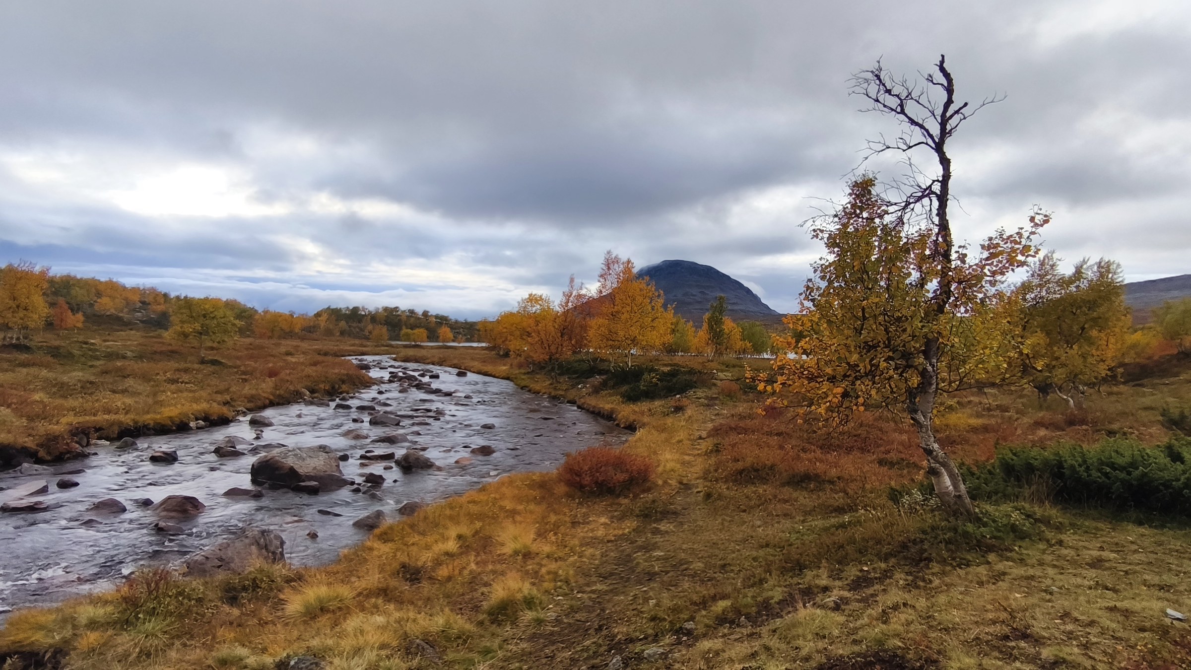
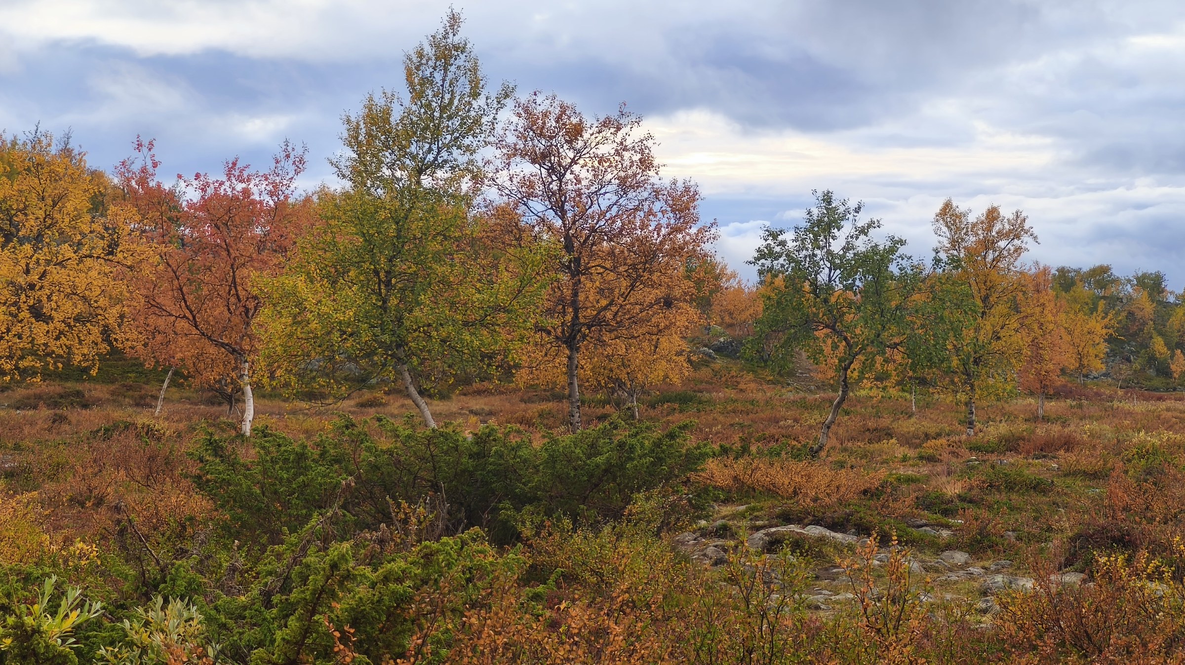
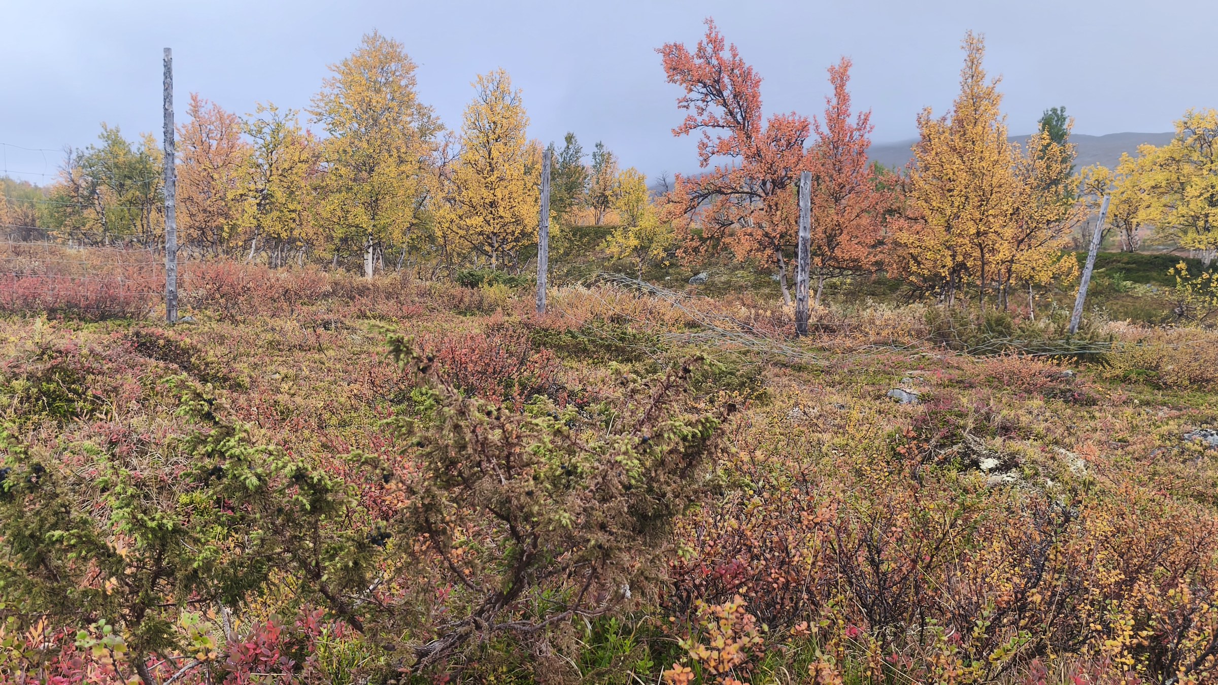
19:54–21:42 · 560 m above sea level · 27 photos
01.09 19:5401.09 19:5501.09 19:5501.09 19:5601.09 19:5601.09 19:5601.09 20:0001.09 20:2301.09 20:2301.09 21:2601.09 21:2701.09 21:2701.09 21:2701.09 21:2701.09 21:3001.09 21:3101.09 21:3101.09 21:3101.09 21:3101.09 21:3201.09 21:3401.09 21:3501.09 21:3601.09 21:3601.09 21:3601.09 21:3801.09 21:42