GPS-calibrated map
Numbers = photos taken there. - - - = approximate stretch, no exact trail data.
© National Land Survey of Finland (NLS) — terrain map
Day 5 · Aug 30
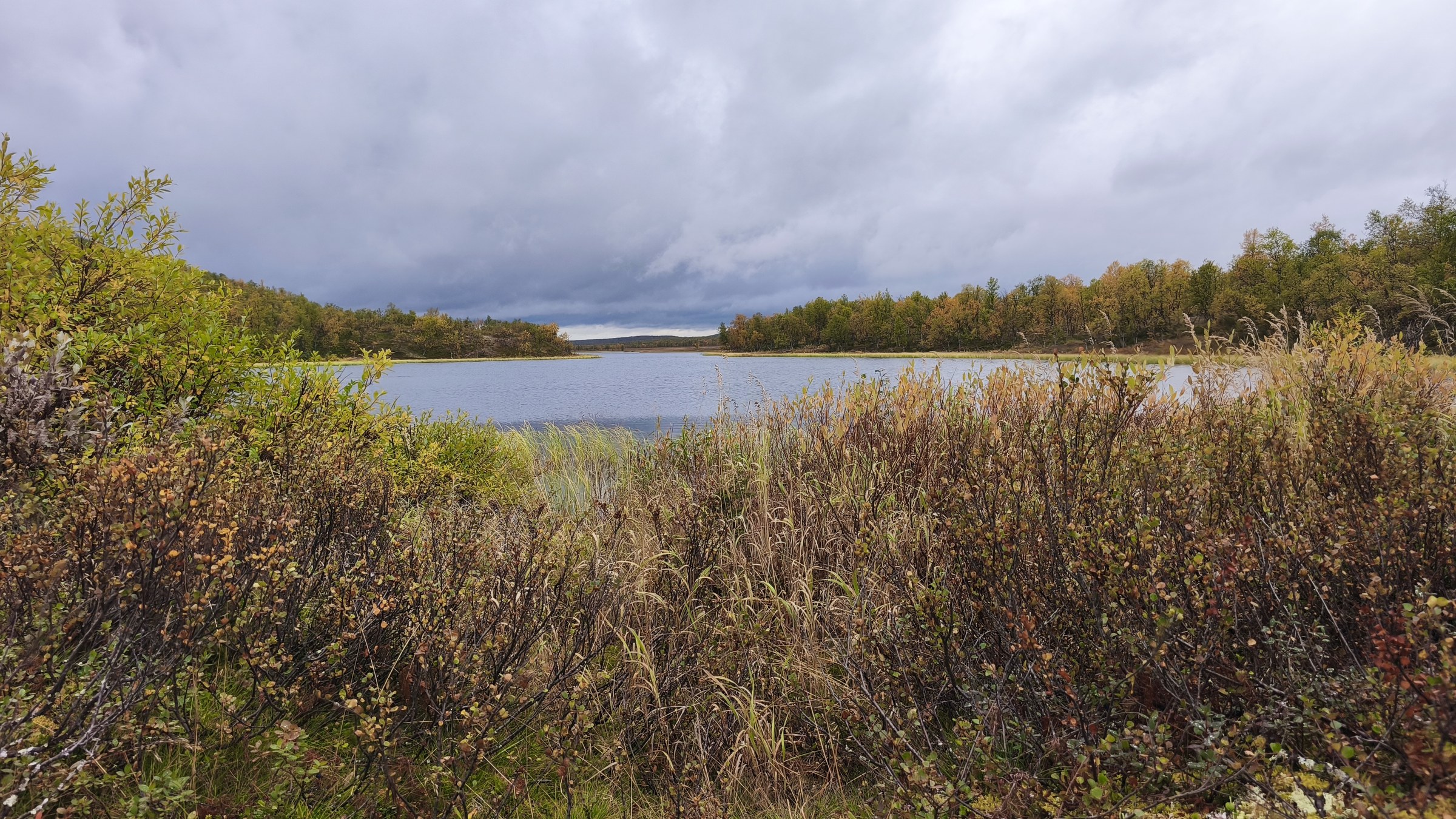
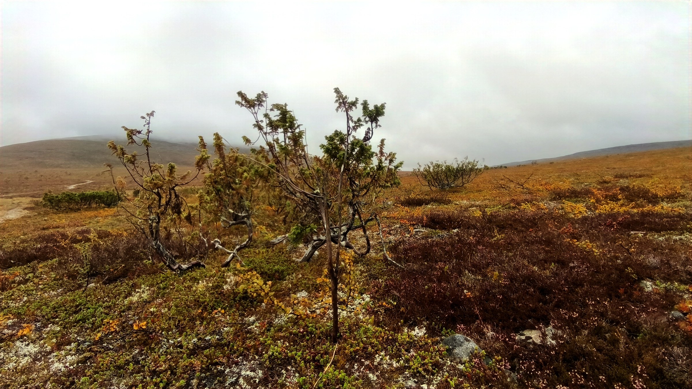
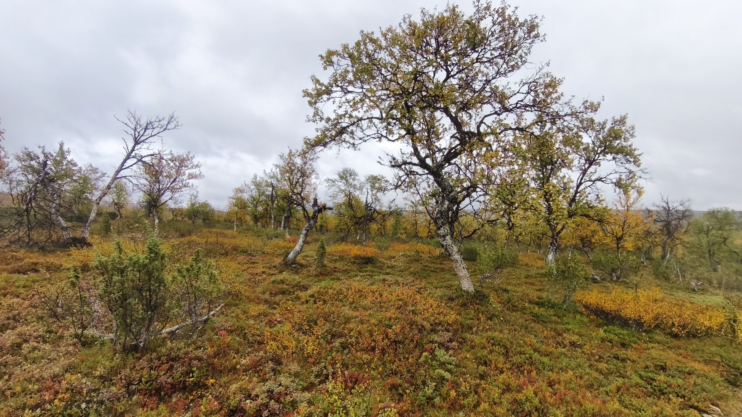
Near Ailikas/Áilegas
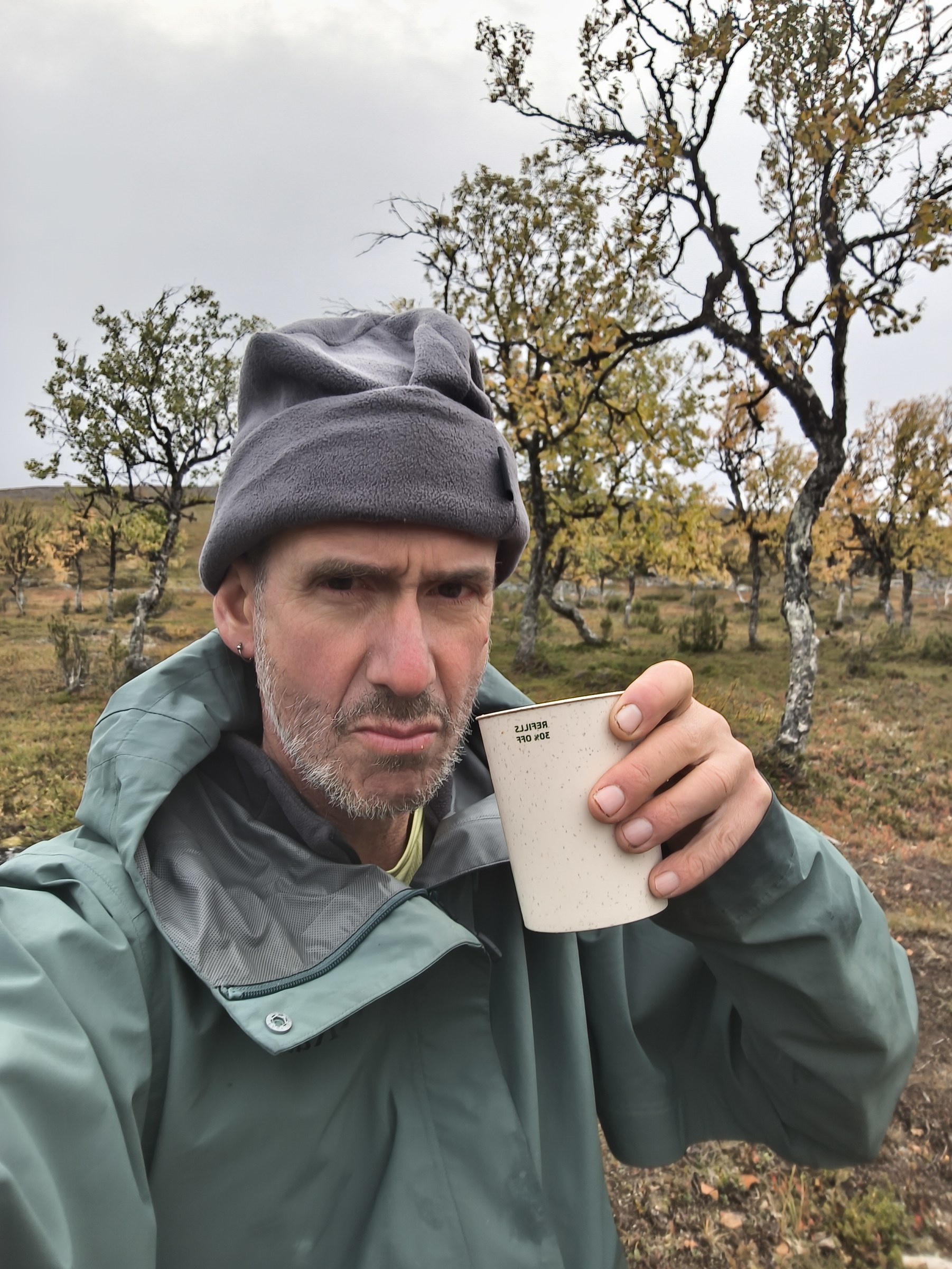
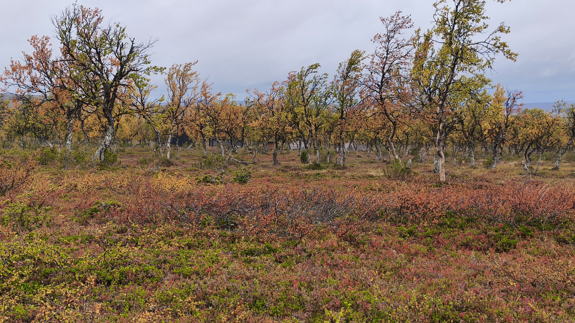
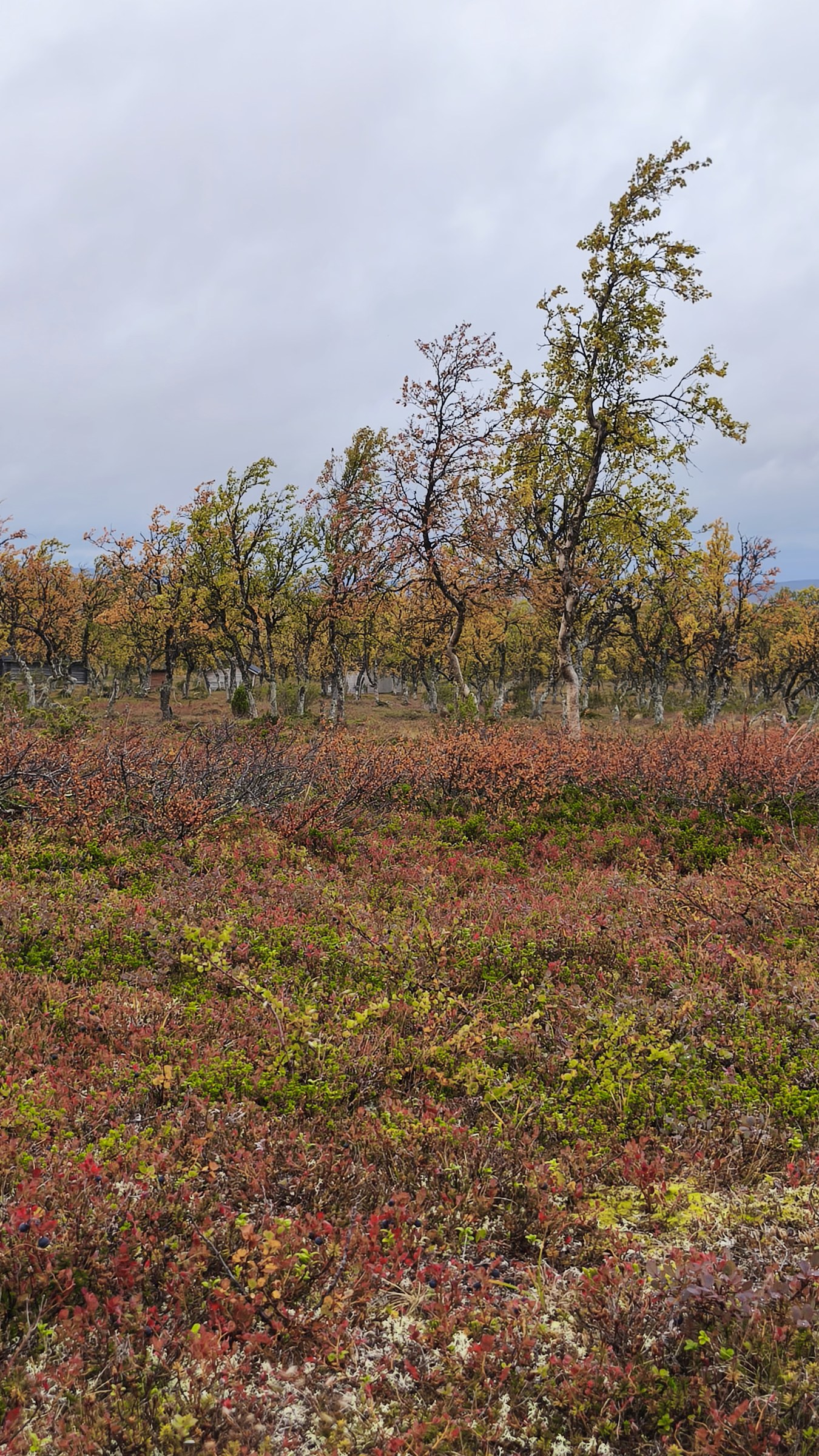
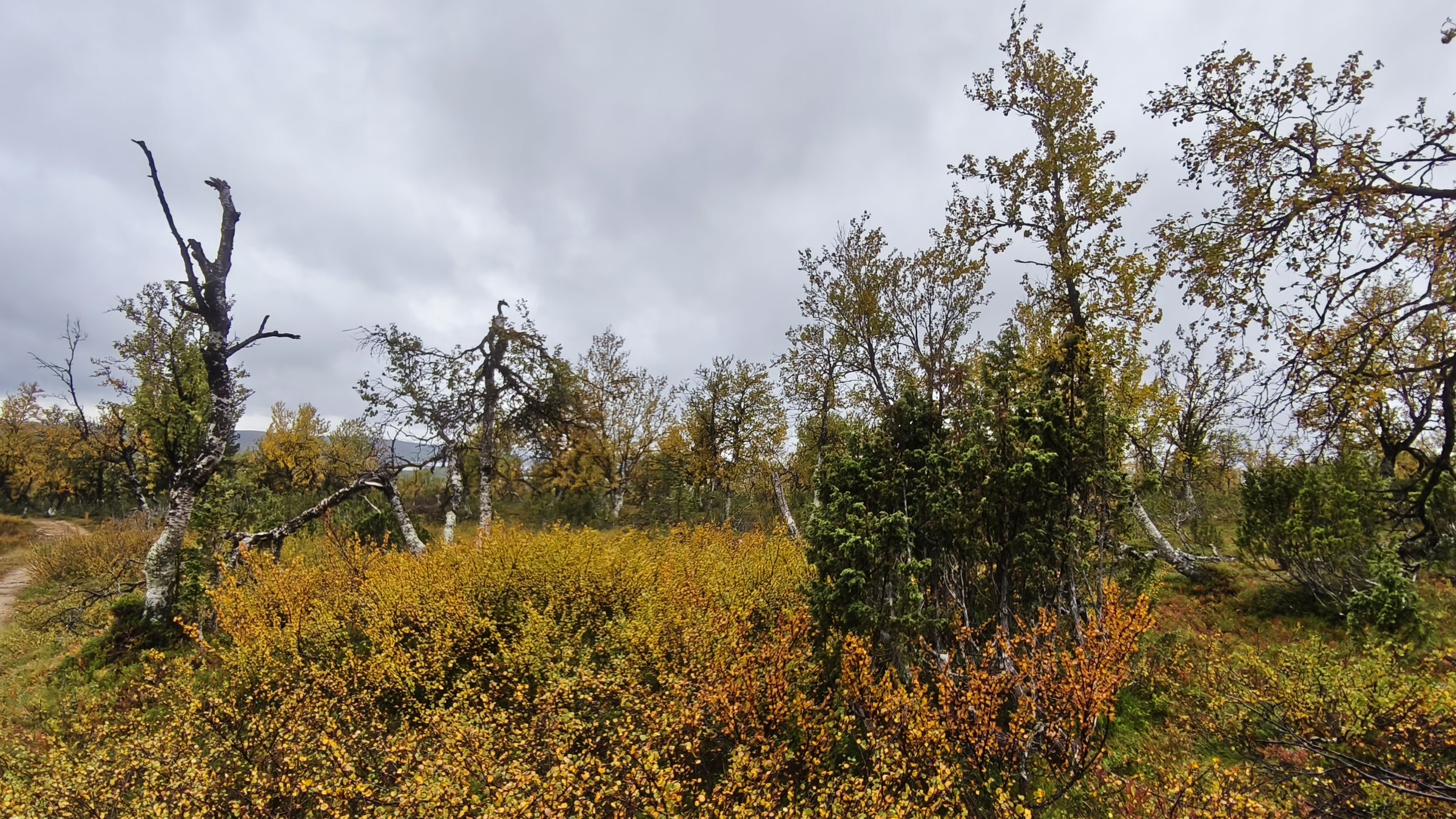
Near Ailikasjänkä/Áilegasjeaggi
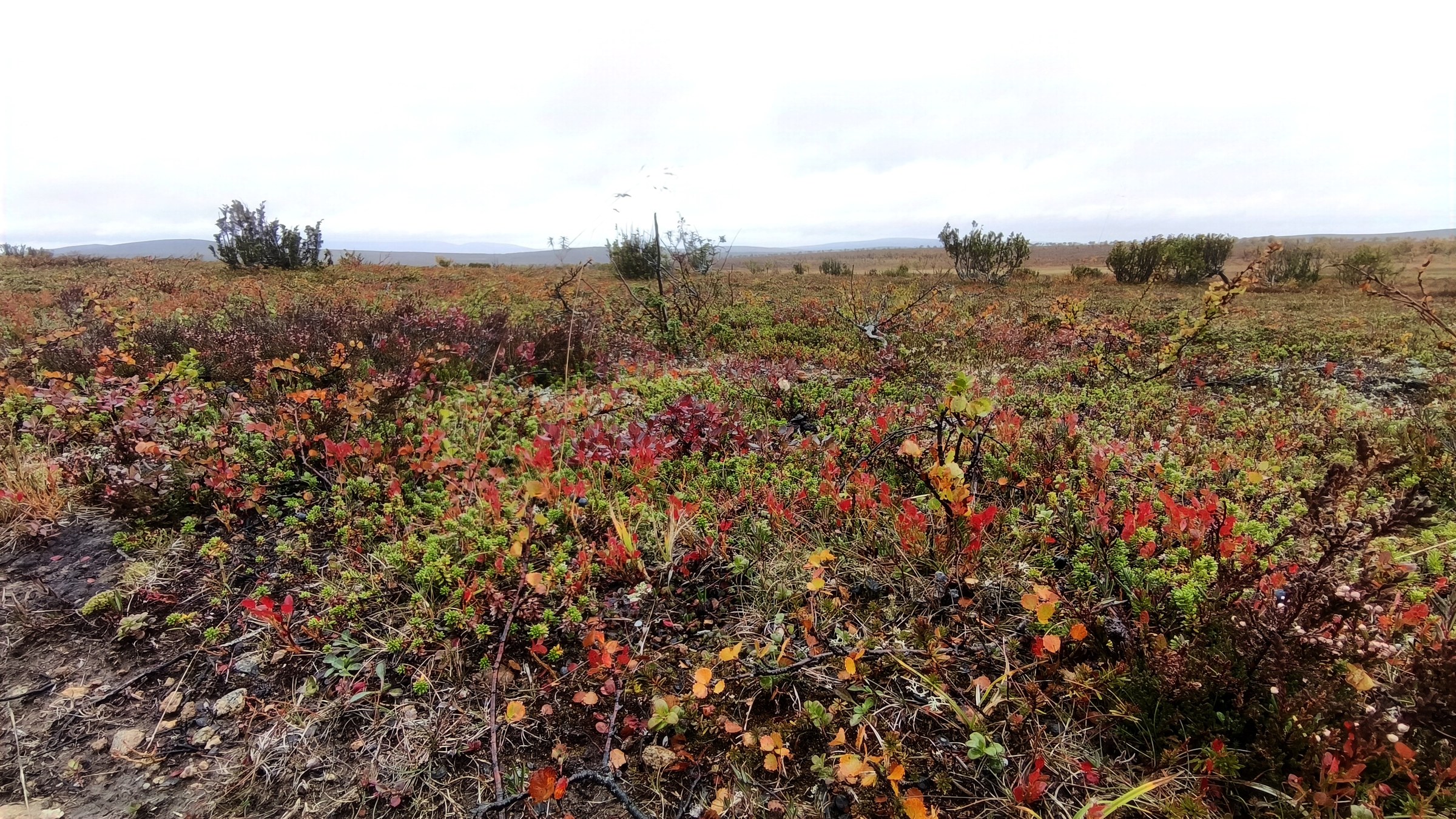
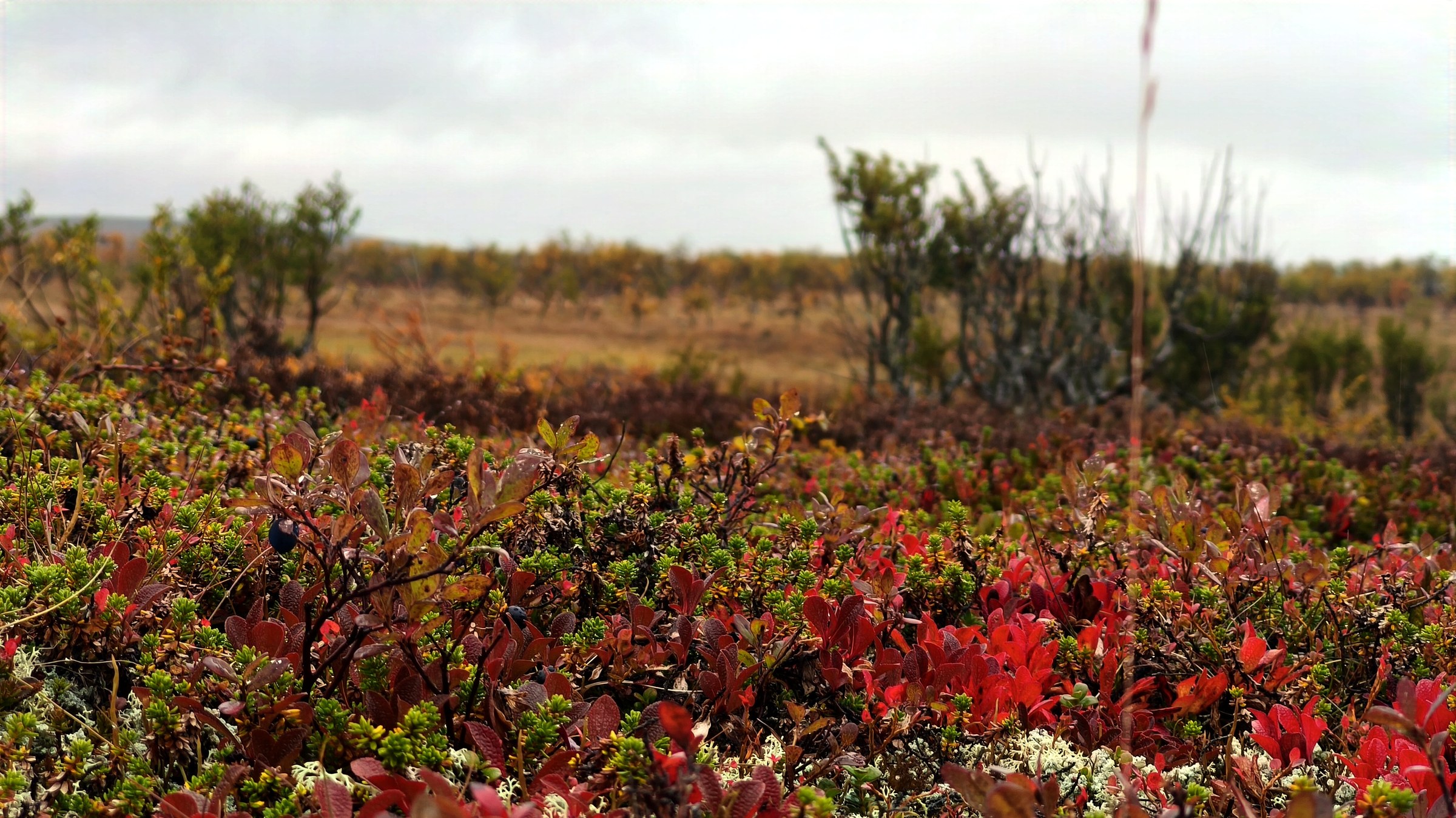
Near Ailikasjänkä/Áilegasjeaggi
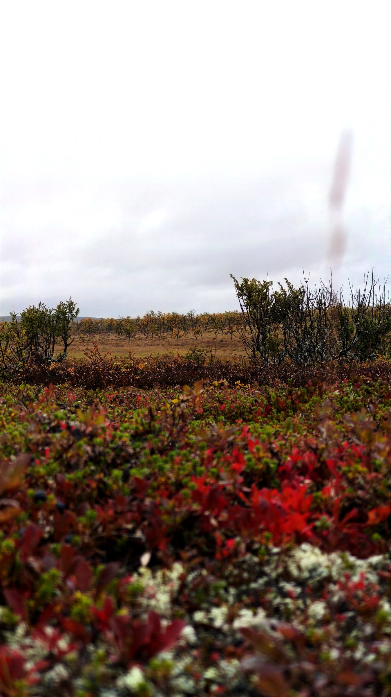
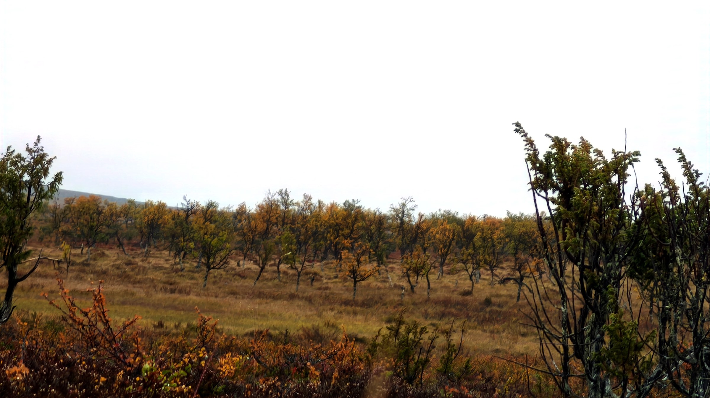
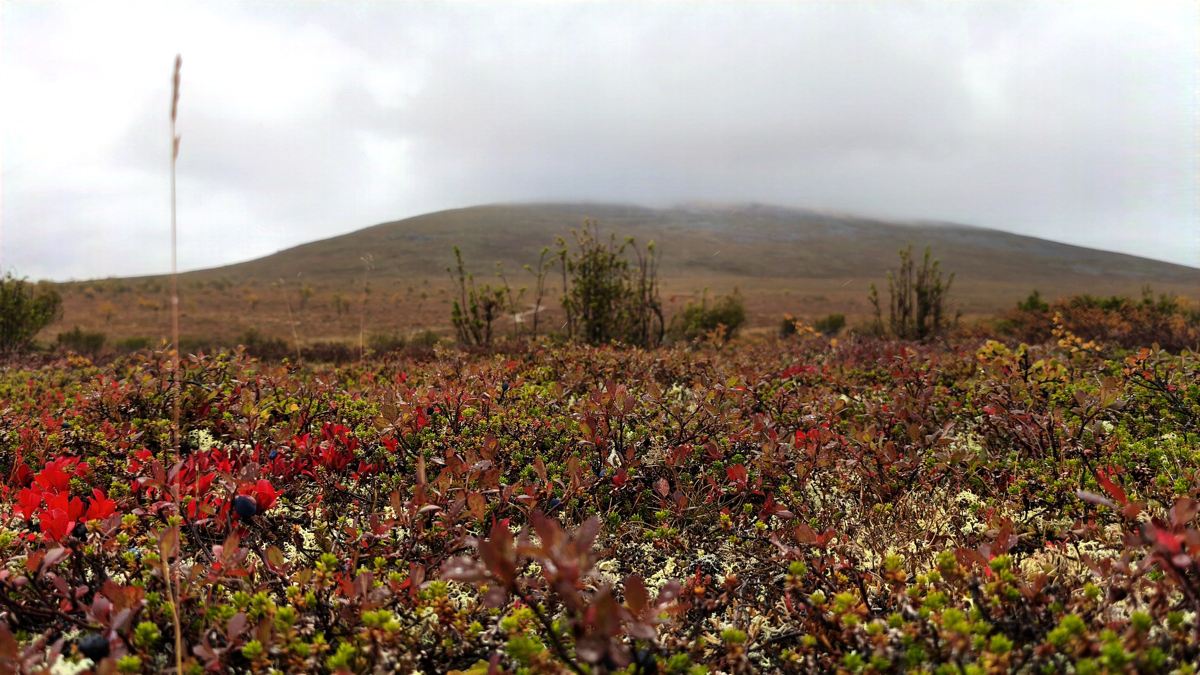
Approaching Karigasniemi
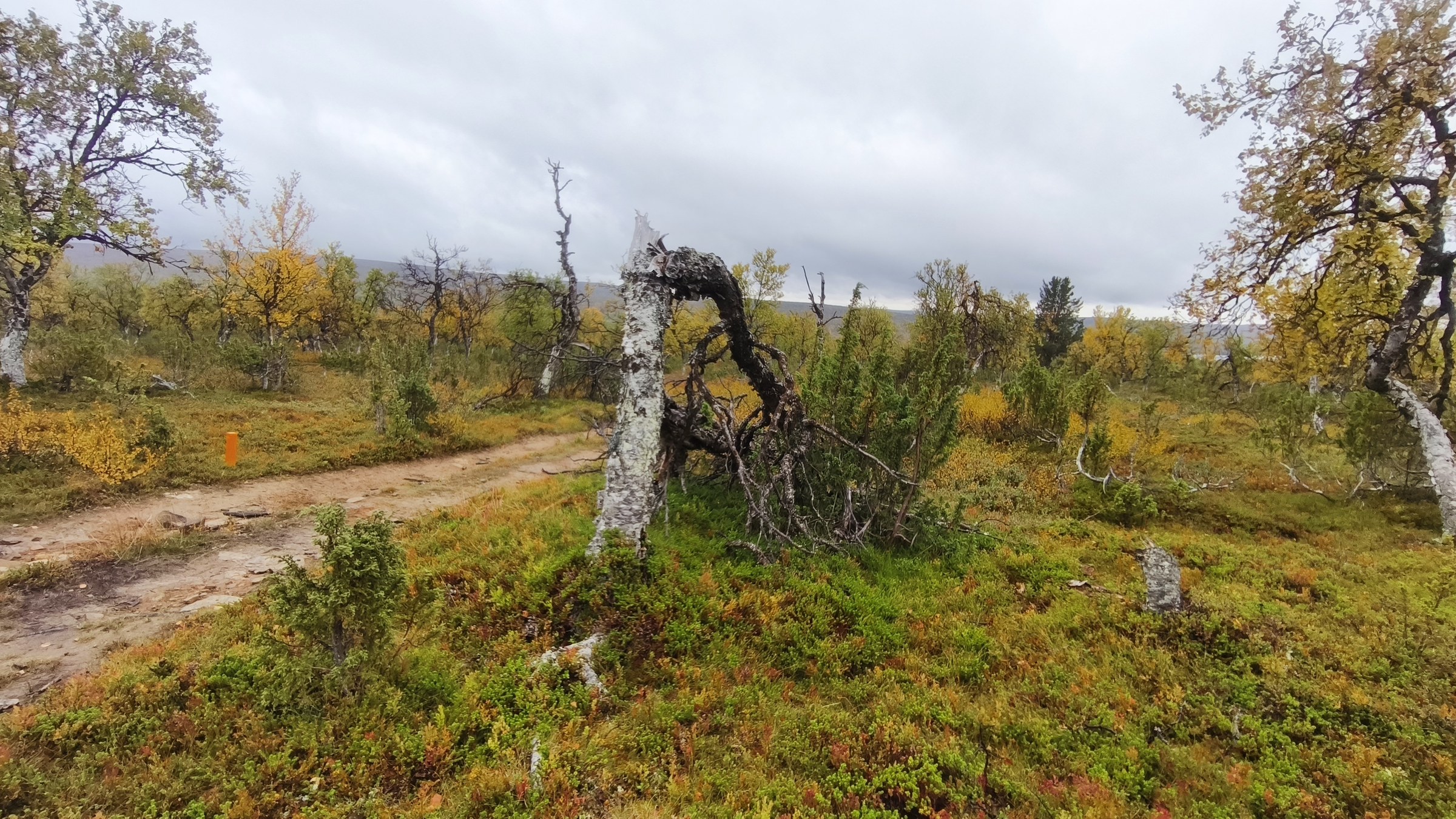
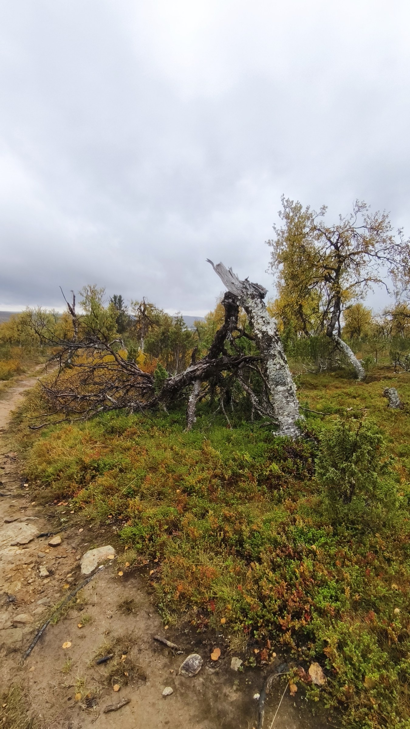
Back at Karigasniemi · end of the Kevo trek